Login

Forgot your login?

Cookies have to be accepted!
Your browser's cookie functionality is disabled. Please enable this functionality.

Not a member yet?

Register now
Login

Available for registred users only

Log in to use this feature.

Forgot your login?

Cookies have to be accepted!
Your browser's cookie functionality is disabled. Please enable this functionality.

Not a member yet?

Register now
Filter
Categories
Advanced filters
  • Distance (km)
  • Height
Save filters Reset filter

TrackRank

QRCode

Technical data

Distance37,0 km Height89 m Way down94 m Duration06:00 h:m Date25.03.2009
Scores Author Landscape Fun factor Fitness Technique

Statistics

4642 Views 1 Score 777 Downloads 4.00 Average
Rate
  • Track data sheet
  • Directions
  • Downloads

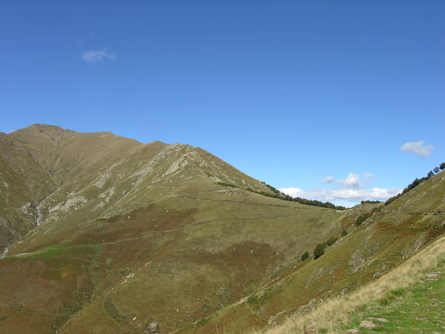
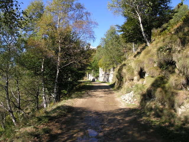
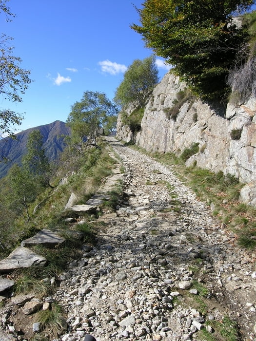
Die Tour startet entweder vom Parkplatz in Cannero oder von einer der Parkbuchten entlang des Sees. Manchmal mehr, manchmal weniger steil erreicht man Il Colle. Von hier Variante mit Singletrail nach Morissolino und Tre Croci möglich. Kurz hinter Il Colle beginnt die alte Militärstrasse hinüber nach Archia, Passo Folungo und Monte Zeda. Strässchen zum Monte Bavarione und Monte Spalavera können mitgenommen werden.

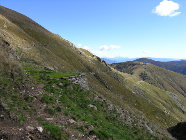
AmPian Vada, wo im Jahr 2007 das neue Bivacco entstand, ist für den Biker Schluss. Es kann noch zu Fuss zum Monte Zeda hochgestiegen werden. (Ca. 30 Minuten). Von hier aus geniesst man einen unglaublichen Ausblick über das Valgrande und den Lago.

Das Höhenprofil stimmt natürlich nicht, da die Tour am PC nachgezeichnet wurde.

Tour gallery

Tour map and elevation profile

  • Open Street Map
  • Google
Minimum height 1225 m Maximum height 1296 m Detailed view

More about the tour author

huelserhighway
Member since 2007

Send private message

Comments

limmat on 17.04.2011

Tour # 30854

Leider stimmen offensichtlich die Höhenangaben und das Profil nicht; Tour würde mich ansonsten sehr interessieren
limmat on 17.04.2011

Tour # 30854

Leider stimmen offensichtlich die Höhenangaben und das Profil nicht; Tour würde mich ansonsten sehr interessieren
huelserhighway on 18.04.2011

@limmat

ist ja auch oben so beschrieben, GPS war leider ohne Batterien. Wenn dich die Tour interessiert, fahren und geniessen. Gruss Marco

Mit ÖV nicht gut zu erreichen

GPS tracks

Trackpoints
  • GPX / Garmin Map Source (gpx) download
  • TCX / Garmin Training Center® (tcx) download
  • CRS / Garmin Training Center® (crs) download
  • Google Earth (kml) download
  • G7ToWin (g7t) download
  • TTQV (trk) download
  • Overlay (ovl) download
  • Fugawi (txt) download
  • Kompass (DAV) Track (tk) download
  • Track data sheet (pdf) download
  • Original file of the author (gpx) download

More about the tour author

huelserhighway
Member since 2007

Send private message
Share track
Add to my favorites
Remove from my favorites
Edit tags
My score
Rate
Track: Cannero - Monte Zeda
Type: Mountain bike
Distance: 37,0 km
Evaluated on:
Duration:
Day(s)
Hour(s)
Minute(s)
Score: Landscape Fun factor Fitness Technique