


Gran Canaria
Große Runde
Start ist am Parkplatz Sabore Golf, alternativ auch direkt in Maspalomas.
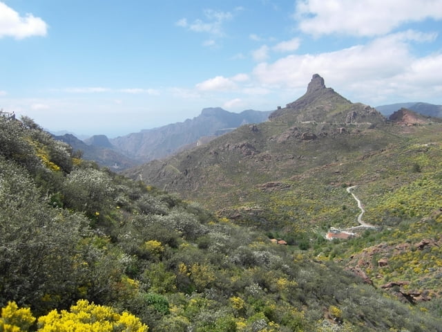
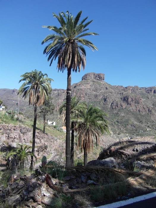
Zunächst geht es vorbei am grün aus der Wüstenlandschaft herausstechenden Golfplatz. Vorbei an einer bewirtschafteten Finka und einem verlassenen Gehöft geht es auf die GC 604. Dies ist eine kleine geteerte Nebenstraße mit wenig Verkehr. Später ist es nur noch eine Schotterpiste. Vorbei an dem Stausee von Chira geht es nach Ayacata, einem kleinen Dorf im zentralen Bergland.
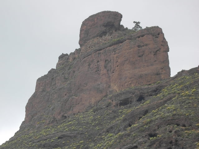
Die große Runde um das Bergland, den Roque Nublo, muss dann auf Straßen erfolgen. Es gibt schlichtweg keine Montain-Bike-Strecken oder halbwegs fahrbare Wege.
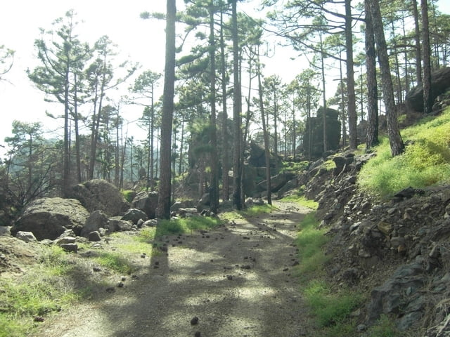
Der Rückweg erfolgt durch Pinienwälder und das Soria-Tal. Wer noch Zeit und Lust hat, kann hier statt der Straßen den Pfad aus meiner anderen Tour wählen.
Further information at
http://www.dupper.de/index.php?page=GC2Tour gallery
Tour map and elevation profile
Minimum height 21 m
Maximum height 1728 m
More about the tour author

|
TransalpX |
Comments

Von Maspalomas die GC1 bis Sabore Golf. Am Parkplatz am Golfplatz parken.
GPS tracks
Trackpoints-
GPX / Garmin Map Source (gpx) download
-
TCX / Garmin Training Center® (tcx) download
-
CRS / Garmin Training Center® (crs) download
-
Google Earth (kml) download
-
G7ToWin (g7t) download
-
TTQV (trk) download
-
Overlay (ovl) download
-
Fugawi (txt) download
-
Kompass (DAV) Track (tk) download
-
Track data sheet (pdf) download
-
Original file of the author (gpx) download
More about the tour author
|
|
TransalpX |
Add to my favorites
Remove from my favorites
Edit tags
Open track
My score
Rate