
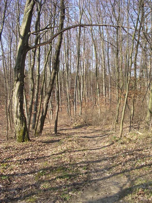

Landschaftlich schöne Tour mit einigen Anstiegen und Single-Trails.
Die Bahnhofstr. entlang dann Feldwege und durch Wald zum CVJM-Heim Heimerdingen schöner Single-Trail ins Strudelbach-Tal.
Auf und ab durch den Heutalwald - schöner Trail nach Mönsheim - am Schloss und Golfplatz vorbei
zum Autobahnanschluss Heimsheim - hinauf und dann hinab nach Flacht- hoch zum Ettlesberg -
viel auf und ab mit einigen Singletrails durch den Bonlandenwald und zurück nach Hemmingen.
Tour gallery
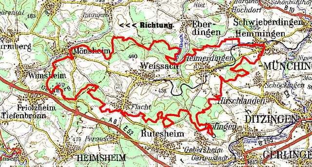
Tour map and elevation profile
Minimum height 309 m
Maximum height 515 m
More about the tour author
|
|
Hemmingen |
Comments

Martin
on 30.04.2007
Hallo!, Ganz nette Tour in der Nähe von Stuttgart. Viele Fortwege und wenig steil aber die Höhenmeter addieren sich. Singletrails gibts nicht viele aber trotzdem nette Tagestour.
Bahnhof Hemmingen Nebenbahn erreichbar von Korntal
S-Bahn Linie S6 verkehrt nur Montag bis Samstag mittags
S-Bahn Linie S6 verkehrt nur Montag bis Samstag mittags
GPS tracks
Trackpoints-
GPX / Garmin Map Source (gpx) download
-
TCX / Garmin Training Center® (tcx) download
-
CRS / Garmin Training Center® (crs) download
-
Google Earth (kml) download
-
G7ToWin (g7t) download
-
TTQV (trk) download
-
Overlay (ovl) download
-
Fugawi (txt) download
-
Kompass (DAV) Track (tk) download
-
Track data sheet (pdf) download
More about the tour author
|
|
Hemmingen |
Add to my favorites
Remove from my favorites
Edit tags
Open track
My score
Rate