Login

Forgot your login?

Cookies have to be accepted!
Your browser's cookie functionality is disabled. Please enable this functionality.

Not a member yet?

Register now
Login

Available for registred users only

Log in to use this feature.

Forgot your login?

Cookies have to be accepted!
Your browser's cookie functionality is disabled. Please enable this functionality.

Not a member yet?

Register now
Filter
Categories
Advanced filters
  • Distance (km)
  • Height
Save filters Reset filter

TrackRank

QRCode

Technical data

Distance43,8 km Height680 m Way down1623 m Duration08:30 h:m Date31.03.2009
Scores Author Landscape Fun factor Fitness Technique

Statistics

380 Views Scores 126 Downloads Average
Rate
  • Track data sheet
  • Directions
  • Downloads

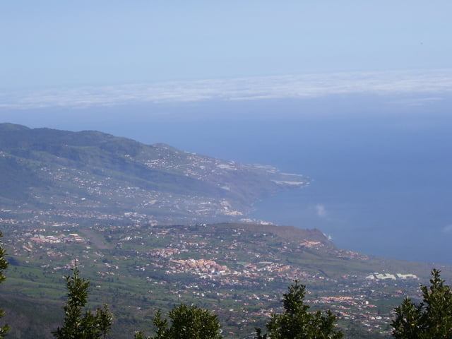
Mit dem Shuttle-Taxi auf die Ostseite der Insel bis zur bis kurz nach der Tunnelausfahrt fahren (967 m.ü.NN). Dann auf einem Forstweg und kleinen Singletrails nach Süden um den Höhenrücken des Montana de la Venta zum Refugio De ElPilar (1490 m.ü.NN). Dann auf Piste, Trails und Nebenstrassen über El Paso und Los Llanos de Ariadne zurück zur Bikestation in Puerto Naos.


Tour gallery

Tour map and elevation profile

  • Open Street Map
  • Google
Minimum height 13 m Maximum height 1489 m Detailed view

More about the tour author

mikean99
Member since 2009

Send private message

Comments

GPS tracks

Trackpoints
  • GPX / Garmin Map Source (gpx) download
  • TCX / Garmin Training Center® (tcx) download
  • CRS / Garmin Training Center® (crs) download
  • Google Earth (kml) download
  • G7ToWin (g7t) download
  • TTQV (trk) download
  • Overlay (ovl) download
  • Fugawi (txt) download
  • Kompass (DAV) Track (tk) download
  • Track data sheet (pdf) download
  • Original file of the author (gpx) download

More about the tour author

mikean99
Member since 2009

Send private message
Share track
Add to my favorites
Remove from my favorites
Edit tags
My score
Rate
Track: Umrundung der Cumbre Vieja von der Ost- nach Westseite der Insel
Type: Mountain bike
Distance: 43,8 km
Evaluated on:
Duration:
Day(s)
Hour(s)
Minute(s)
Score: Landscape Fun factor Fitness Technique