Login

Forgot your login?

Cookies have to be accepted!
Your browser's cookie functionality is disabled. Please enable this functionality.

Not a member yet?

Register now
Login

Available for registred users only

Log in to use this feature.

Forgot your login?

Cookies have to be accepted!
Your browser's cookie functionality is disabled. Please enable this functionality.

Not a member yet?

Register now
Filter
Categories
Advanced filters
  • Distance (km)
  • Height
Save filters Reset filter

TrackRank

QRCode

Technical data

Distance38,2 km Height1113 m Way down925 m Duration02:30 h:m Date06.04.2009
Scores Author Landscape Fun factor Fitness Technique

Statistics

730 Views Scores 186 Downloads Average
Rate
  • Track data sheet
  • Directions
  • Downloads

CTF Brohltal 2009

38 km Strecke der CTF Brohltal 2009, welche zu 98 % aus Forstpisten besteht und durch den Vulkanpark Brohltal sowie um den Laacher See führt. Landschaftlich sehr schön, konditionell und fahrtechnisch eher im unteren Bereich angesíedelt.
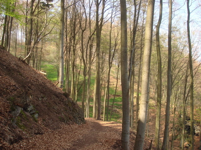
Tour gallery

Tour map and elevation profile

  • Open Street Map
  • Google
Minimum height 103 m Maximum height 570 m Detailed view

More about the tour author

Sunkid
Member since 2008

Send private message

Comments

Start- und Zielpunkt ist die Römerhalle in 56651 Wehr

GPS tracks

Trackpoints
  • GPX / Garmin Map Source (gpx) download
  • TCX / Garmin Training Center® (tcx) download
  • CRS / Garmin Training Center® (crs) download
  • Google Earth (kml) download
  • G7ToWin (g7t) download
  • TTQV (trk) download
  • Overlay (ovl) download
  • Fugawi (txt) download
  • Kompass (DAV) Track (tk) download
  • Track data sheet (pdf) download
  • Original file of the author (gpx) download

More about the tour author

Sunkid
Member since 2008

Send private message
Share track
Add to my favorites
Remove from my favorites
Edit tags
My score
Rate
Track: CTF Brohltal 2009 38 km
Type: Mountain bike
Distance: 38,2 km
Evaluated on:
Duration:
Day(s)
Hour(s)
Minute(s)
Score: Landscape Fun factor Fitness Technique