


Für mich die schönste Tour von Siegen ausgehend.
Man fährt aus der Winchenbach über Rödgen in Richtung Wilnsdorf.
Von dort aus geht es in Richtung Siegerlänger Höhenring.
Am Goldschmiedsborn kann man nach etwa 20 km frisches Quellwasser tanken.
Danach geht es in Richtung Haincher Höhe und dann über die Kaffebuche zum Jagdberg, dem höchsten Punkt der Tour.
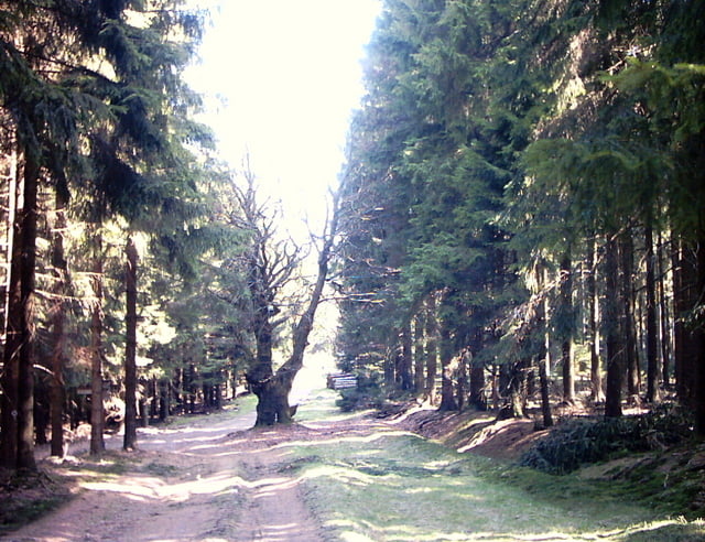
In diesem Bereich gibt es jede Menge Wurzeln, Steine und Schlammlöcher die man je nach Neigung auch umfahren kann.
Danach folgt die Abfahrt zum Lahnhof und dann zur Siegquelle wo man wieder Quellwasser tanken kann.
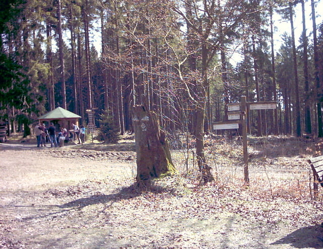
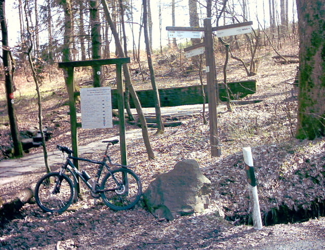
Über die Eisenstrasse fährt man dann zum Fortshaus Hohenroth und dann weiter zur Alten Burg.
Nun folgt eine auch technisch intressante Abfahrt über einen Bergrücken nach Netphen.
Von hier aus kann man über den Hasenbahnhof und den Gierberg zurück nach Siegen fahren.
Alternativ gibt es auch den Radweg über Weidenau.
und den Giersberg.
Tour gallery

Tour map and elevation profile
Minimum height 255 m
Maximum height 705 m
More about the tour author
|
|
tom-folke |
Comments

Start und Ziel ist die Siegener Oberstadt.
GPS tracks
Trackpoints-
GPX / Garmin Map Source (gpx) download
-
TCX / Garmin Training Center® (tcx) download
-
CRS / Garmin Training Center® (crs) download
-
Google Earth (kml) download
-
G7ToWin (g7t) download
-
TTQV (trk) download
-
Overlay (ovl) download
-
Fugawi (txt) download
-
Kompass (DAV) Track (tk) download
-
Track data sheet (pdf) download
-
Original file of the author (gpx) download
More about the tour author
|
|
tom-folke |
Add to my favorites
Remove from my favorites
Edit tags
Open track
My score
Rate