


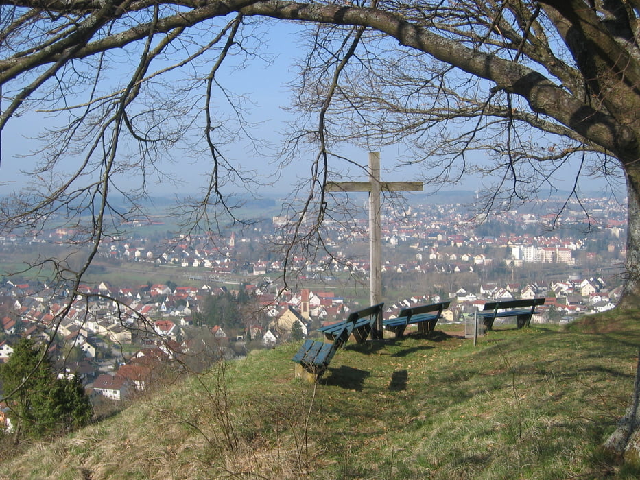
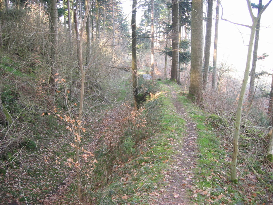
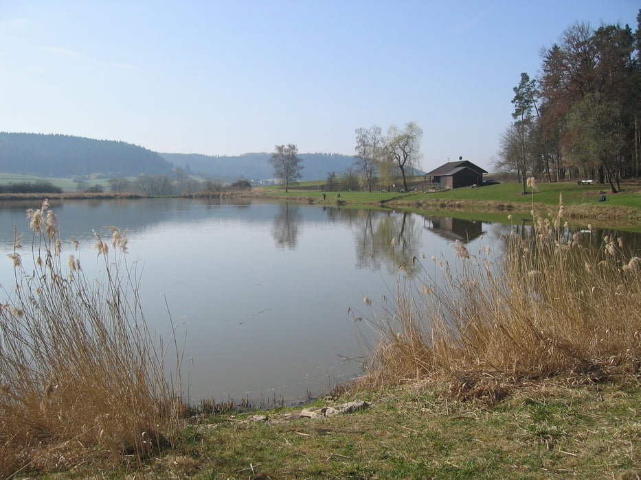
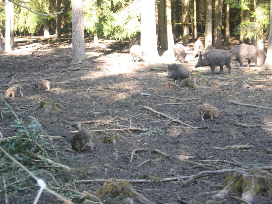
Vom Markplatz in Schömberg geht es Richtung Schörzingen. Hier am Gasthaus "Neuhaus" vorbei weiter zur KZ-Gedenkstätte Eckerwald. Über die Feriensiedlung Feckenhausen folgen wir der Ortsdurchfahrt Feckenhausen dem Jakobusweg zum Aussichtspunkt "Dissenhorn" über Göllsdorf. Hier genießt man eine herrliche Aussicht über Rottweil sowie den Schwarzwald. Über einen kurzen Trail geht es nach Göllsdorf hinein, weiter zum "Linsenbergweiher", danach vorbei am "Hardthauser See" zum "Wildschweingehege Dietingen". Auf Schotterpiste geht es Richtung "Vaihinger Hof", den wir jedoch links liegen lassen und weiter Richtung Schömberg fahren.
Tour gallery
Tour map and elevation profile
Minimum height 569 m
Maximum height 738 m
More about the tour author
|
|
Happe-69 |
Comments

72355 Schömberg liegt direkt an der B27 zwischen Balingen und Rottweil. Ausgangspunkt der Tour ist der Marktplatz (Parkmöglichkeit) in der "Stadtmitte".
GPS tracks
Trackpoints-
GPX / Garmin Map Source (gpx) download
-
TCX / Garmin Training Center® (tcx) download
-
CRS / Garmin Training Center® (crs) download
-
Google Earth (kml) download
-
G7ToWin (g7t) download
-
TTQV (trk) download
-
Overlay (ovl) download
-
Fugawi (txt) download
-
Kompass (DAV) Track (tk) download
-
Track data sheet (pdf) download
-
Original file of the author (gpx) download
More about the tour author
|
|
Happe-69 |
Add to my favorites
Remove from my favorites
Edit tags
Open track
My score
Rate