Login

Forgot your login?

Cookies have to be accepted!
Your browser's cookie functionality is disabled. Please enable this functionality.

Not a member yet?

Register now
Login

Available for registred users only

Log in to use this feature.

Forgot your login?

Cookies have to be accepted!
Your browser's cookie functionality is disabled. Please enable this functionality.

Not a member yet?

Register now
Filter
Categories
Advanced filters
  • Distance (km)
  • Height
Save filters Reset filter

TrackRank

QRCode

Technical data

Distance21,8 km Height325 m Way down320 m Duration01:30 h:m Date13.04.2009
Scores Author Landscape Fun factor Fitness Technique

Statistics

256 Views Scores 34 Downloads Average
Rate
  • Track data sheet
  • Directions
  • Downloads
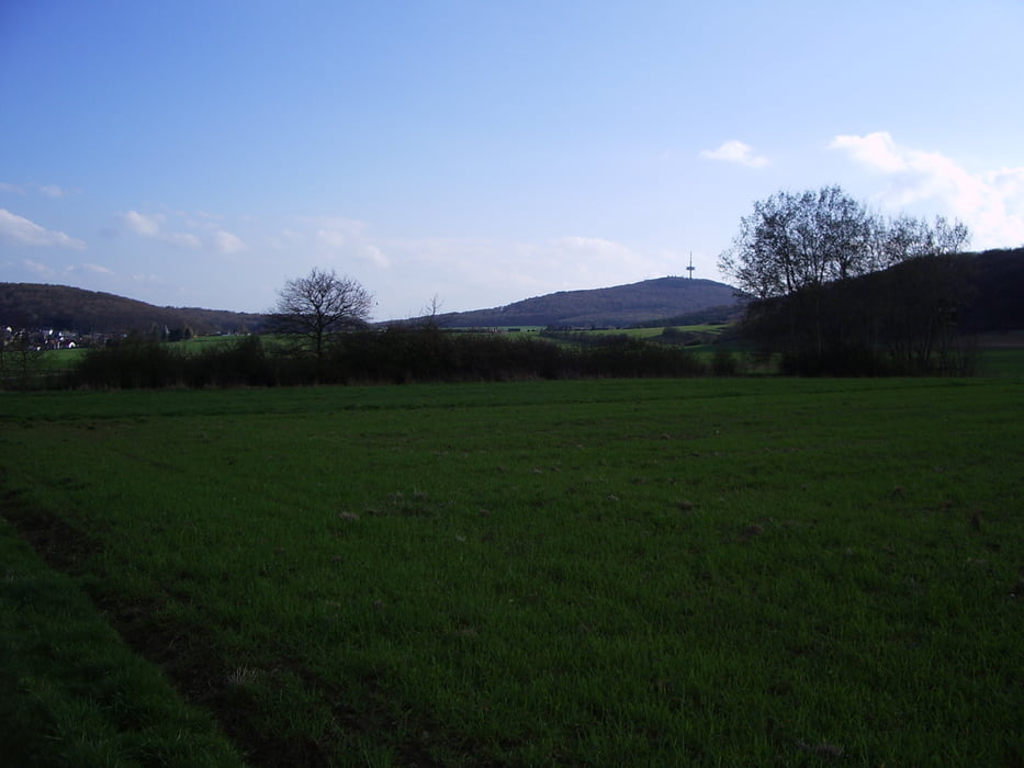
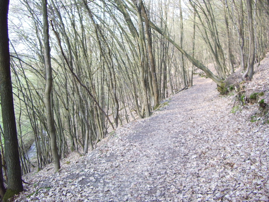
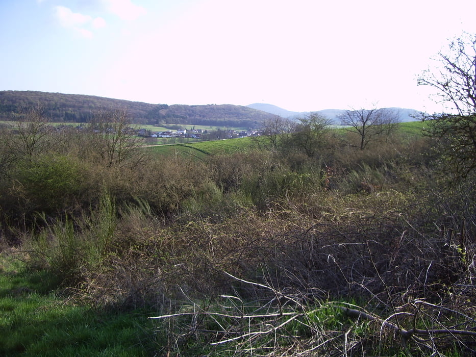
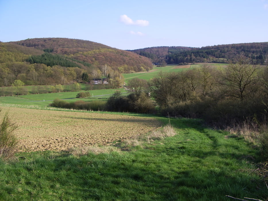
Eine schöne Runde beginnend in Erda mit dem Ziel  Waldschwimmbad in Kirchvers. Mit eingebunden ist der Rundwanderweg um Kirchvers mit tollen Aussichten auf den Dünsberg und die abwechslungsreiche Landschaft. Der höchste Punkt der Tour ist der Nickenberg in der Gemarkung Frankenbach.

Further information at

http://www.lahn-dill-bergland.de

Tour gallery

Tour map and elevation profile

  • Open Street Map
  • Google
Minimum height 206 m Maximum height 394 m Detailed view

More about the tour author

Arno Brueck
Member since 2007

Send private message

Comments

Von Giessen bzw. Wetzlar zum Startpunkt am Friedhof in Erda.

GPS tracks

Trackpoints
  • GPX / Garmin Map Source (gpx) download
  • TCX / Garmin Training Center® (tcx) download
  • CRS / Garmin Training Center® (crs) download
  • Google Earth (kml) download
  • G7ToWin (g7t) download
  • TTQV (trk) download
  • Overlay (ovl) download
  • Fugawi (txt) download
  • Kompass (DAV) Track (tk) download
  • Track data sheet (pdf) download
  • Original file of the author (gpx) download

More about the tour author

Arno Brueck
Member since 2007

Send private message
Share track
Add to my favorites
Remove from my favorites
Edit tags
My score
Rate
Track: Von Erda zum Waldschwimmbad Kirchvers und Rundweg Kirchvers
Type: Mountain bike
Distance: 21,8 km
Evaluated on:
Duration:
Day(s)
Hour(s)
Minute(s)
Score: Landscape Fun factor Fitness Technique