Login

Forgot your login?

Cookies have to be accepted!
Your browser's cookie functionality is disabled. Please enable this functionality.

Not a member yet?

Register now
Login

Available for registred users only

Log in to use this feature.

Forgot your login?

Cookies have to be accepted!
Your browser's cookie functionality is disabled. Please enable this functionality.

Not a member yet?

Register now
Filter
Categories
Advanced filters
  • Distance (km)
  • Height
Save filters Reset filter

TrackRank

QRCode

Technical data

Distance39,3 km Height569 m Way down561 m Duration03:00 h:m Date13.04.2009
Scores Author Landscape Fun factor Fitness Technique

Statistics

373 Views Scores 80 Downloads Average
Rate
  • Track data sheet
  • Directions
  • Downloads
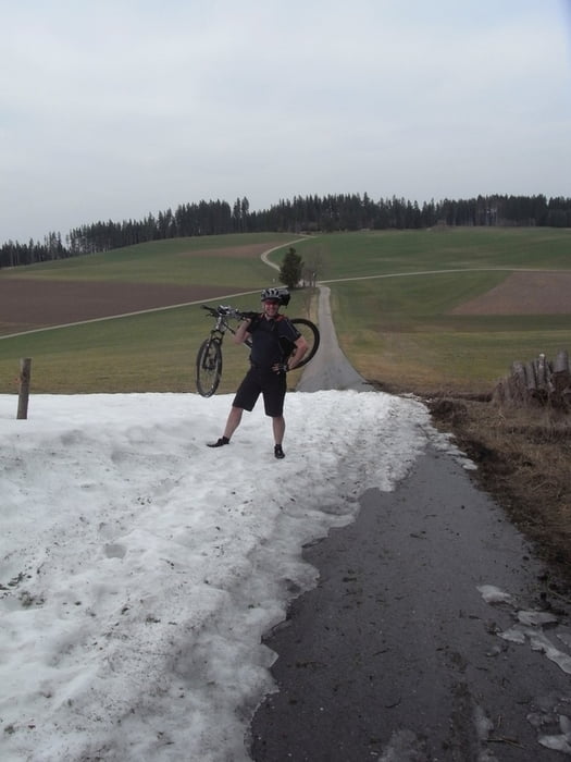
Tolle Sommer-Tour (April war noch etwas früh, siehe Fotos) durch den Südschwarzwald ausgehend von St. Georgen über Vöhrenbach nach Furtwangen und zurück nach St. Georgen. Zwei Anstiege von jeweils 800m auf knapp über 1000m. Viel Asphalt (kaum Verkehr) ansonsten Feld- und Waldwege. Für EInsteiger gut geeignet.

Tour gallery

Tour map and elevation profile

  • Open Street Map
  • Google
Minimum height 801 m Maximum height 1039 m Detailed view

More about the tour author

Docgreen30
Member since 2008

Send private message

Comments

Von der A81 über VS noch ca. 12km bis St. Georgen. Parken am Bahnhof oder dem Naturfreibad.

GPS tracks

Trackpoints
  • GPX / Garmin Map Source (gpx) download
  • TCX / Garmin Training Center® (tcx) download
  • CRS / Garmin Training Center® (crs) download
  • Google Earth (kml) download
  • G7ToWin (g7t) download
  • TTQV (trk) download
  • Overlay (ovl) download
  • Fugawi (txt) download
  • Kompass (DAV) Track (tk) download
  • Track data sheet (pdf) download
  • Original file of the author (gpx) download

More about the tour author

Docgreen30
Member since 2008

Send private message
Share track
Add to my favorites
Remove from my favorites
Edit tags
My score
Rate
Track: St. Georgen - Vöhrenbach - Furtwangen
Type: Mountain bike
Distance: 39,3 km
Evaluated on:
Duration:
Day(s)
Hour(s)
Minute(s)
Score: Landscape Fun factor Fitness Technique