


Start in Neustadt am Main, entlang des Mains bis Hafenlohr. Über Windheim geht es durch das Tal vorbei an der Wachenmühle und Schleiftor zum Sylvan. Nach dem Sylvan folgt ein ca. 1KM lange Seigung hinauf auf den Höhenweg Richtung Forsthaus Karlshöhe. Ab dem Forsthaus geht es bergab ins Hafenlohrtal zum Lindenfurterhof. Hier die Straßenseite wechseln und linksseitig dem Wanderweg nach Windheim folgen. In Windheim links Bergauf und dem Weg oberhalb der Hauptstraße nach Hafenlohr folgen. In Hafenlohr links abbiegen und auf der Verbindungsstr. nach Bergrothenfels fahren. Durch die Burg "Rothenfels" geht es steil bergab zum Main und zurück zum Ausgangspunkt.
Rast: Sylvan, Karlshöhe oder in Windheim(Cafe am Ortseingang von Hafenlohr)
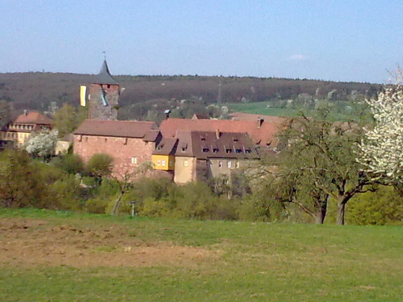
Tour gallery
Tour map and elevation profile
Minimum height 146 m
Maximum height 498 m
More about the tour author
|
|
feilenfritz |
Comments

GPS tracks
Trackpoints-
GPX / Garmin Map Source (gpx) download
-
TCX / Garmin Training Center® (tcx) download
-
CRS / Garmin Training Center® (crs) download
-
Google Earth (kml) download
-
G7ToWin (g7t) download
-
TTQV (trk) download
-
Overlay (ovl) download
-
Fugawi (txt) download
-
Kompass (DAV) Track (tk) download
-
Track data sheet (pdf) download
-
Original file of the author (gpx) download
More about the tour author
|
|
feilenfritz |
Add to my favorites
Remove from my favorites
Edit tags
Open track
My score
Rate