


Von Kirchheim aus geht es über den Radweg nach Kleba und man kann sich das erste Stück gut einrollen. In Kleba geht es dann auf einem Wirtschaftsweg gemäßigt und recht gleichmäßig bergan bis nach Hattenbach. Dort durch das Dorf und am Ortsausgang rechts ab in Richtung Segelflugplatz. Die Strecke wird nun merklich steiler. Am Flugplatz angekommen geht es über Wald und Wirtschaftswege nach Niederjossa und von dort aus über den Radweg und ein Stückchen Straße nach Niederaula. Von hier aus wiederum über den Radweg zurück zum Ausgangsort.
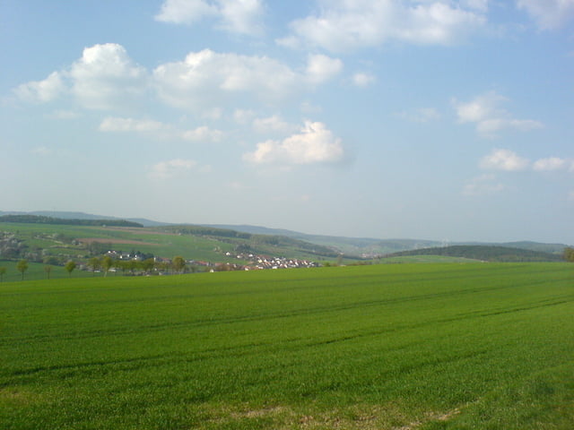
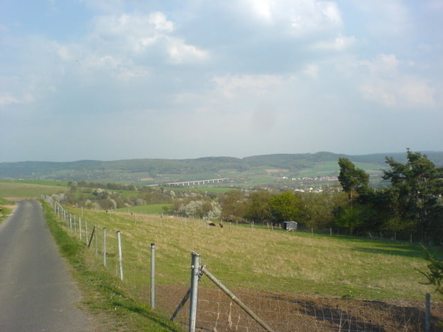
Tour gallery
Tour map and elevation profile
Minimum height 215 m
Maximum height 364 m
More about the tour author

|
cubeltdteam |
Comments

GPS tracks
Trackpoints-
GPX / Garmin Map Source (gpx) download
-
TCX / Garmin Training Center® (tcx) download
-
CRS / Garmin Training Center® (crs) download
-
Google Earth (kml) download
-
G7ToWin (g7t) download
-
TTQV (trk) download
-
Overlay (ovl) download
-
Fugawi (txt) download
-
Kompass (DAV) Track (tk) download
-
Track data sheet (pdf) download
-
Original file of the author (gpx) download
More about the tour author
|
|
cubeltdteam |
Add to my favorites
Remove from my favorites
Edit tags
Open track
My score
Rate