


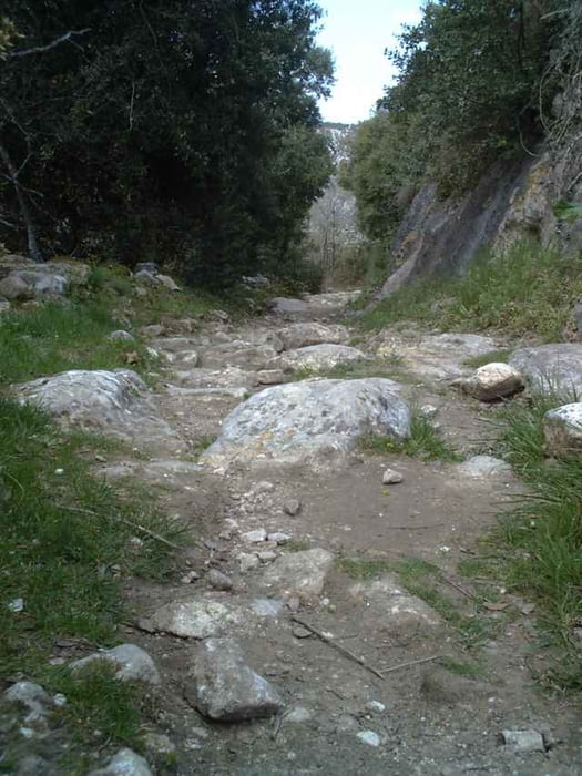
In Anlehnung an Tour 2 aus MountainbikeMagazin 01/2006.Vom Campingplatz Les Cedres in Apt Richtung Saignon und Auribeau auf Aspahlt bergauf. Vor Auribeau rechts auf Schotter bis zur Passhöhe. links zun Mourre Negre und wieder zurück, weiter auf Kamm. Vor Wasserbehälter 30 rechts auf Wanderweg zum PasLou Ensarris.Über Sivergues nach Clos Moulin,über Strasse nach Apt. Es gibt eine schwierigere Variante, ab Sivergues, landschaftlich noch reizvoller. Coming soon !
Tour gallery
Tour map and elevation profile
Minimum height 227 m
Maximum height 462 m
More about the tour author
|
|
hausmuell |
Comments
Von A7 Abfahrt Cavaillon, auf N 100 nach Apt, den Ort durch bis zum Kreisel Richtung Rustrel.
Nach der Unterführung rechts zum Campingplatz. Idealer Startplatz auch zum Colorado
Nach der Unterführung rechts zum Campingplatz. Idealer Startplatz auch zum Colorado
GPS tracks
Trackpoints-
GPX / Garmin Map Source (gpx) download
-
TCX / Garmin Training Center® (tcx) download
-
CRS / Garmin Training Center® (crs) download
-
Google Earth (kml) download
-
G7ToWin (g7t) download
-
TTQV (trk) download
-
Overlay (ovl) download
-
Fugawi (txt) download
-
Kompass (DAV) Track (tk) download
-
Track data sheet (pdf) download
-
Original file of the author (gpx) download
More about the tour author
|
|
hausmuell |
Add to my favorites
Remove from my favorites
Edit tags
Open track
My score
Rate
Apt - Mourre Negre - Apt