
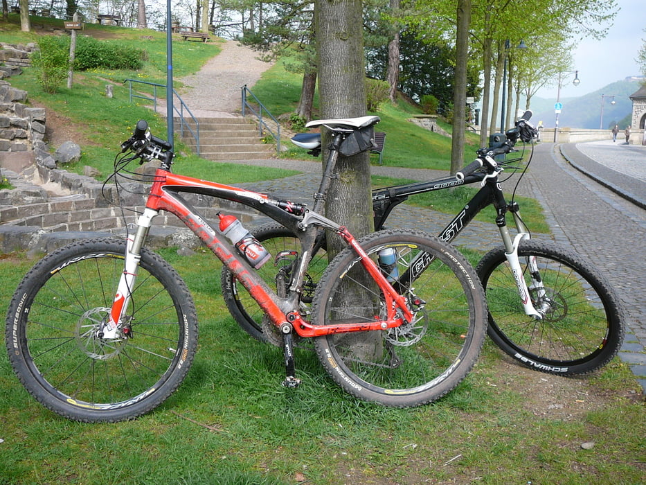

Gestartet in Korbach, dann auf dem neuen Radweg Richtung Meineringhausen. In Höhe "Waldecker BErg" rechts abgebogen und Richtung Obernburg, weiter nach Marienhagen und dann nach Herzhausen (super Abfahrt). Anschließend am Nationalparkhuas vorbei und an der Himmelsbreite in den Nationalpark Kellerwald Edersse eingetaucht. Noch ein kurzer Anstieg dann schöner Trail nach Asel-Süd. Jetzt geht es direkt am Ufer bis zur Sperrmauer und dann aufm Radweg nach Niederwerbe. Dann weiter über Meineringhausen nach Korbach.
Tour map and elevation profile
Minimum height 245 m
Maximum height 429 m
More about the tour author
|
|
pille200 |
Comments

GPS tracks
Trackpoints-
GPX / Garmin Map Source (gpx) download
-
TCX / Garmin Training Center® (tcx) download
-
CRS / Garmin Training Center® (crs) download
-
Google Earth (kml) download
-
G7ToWin (g7t) download
-
TTQV (trk) download
-
Overlay (ovl) download
-
Fugawi (txt) download
-
Kompass (DAV) Track (tk) download
-
Track data sheet (pdf) download
-
Original file of the author (gpx) download
More about the tour author
|
|
pille200 |
Add to my favorites
Remove from my favorites
Edit tags
Open track
My score
Rate