


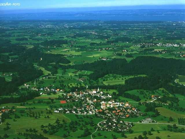
Wir fahren von Kreuzlingen durch die vielen grossen Wälder nach Romanshorn. Ab Romanshorn fahren wir auf dem Seeradweg bis Arbon. In Arbon verlassen wir das flachere Gebiet und fahren gegen die Hügel bis auf den Tanneberg in der Gemeinde Waldkirch. Auf schönen Nebenstrassen und Wegen fahren wir anschliessend, bei ständigem Auf und Ab, über Weinfelden nach Kreuzlingen zurück. Sehr schöne Rundtour!
Tour gallery
Tour map and elevation profile
Minimum height 391 m
Maximum height 891 m
More about the tour author
|
|
Tourer |
Comments

Start und Ziel der Tour ist der Hauptbahnhof Kreuzlingen, am Bodensee Thurgau Schweiz
GPS tracks
Trackpoints-
GPX / Garmin Map Source (gpx) download
-
TCX / Garmin Training Center® (tcx) download
-
CRS / Garmin Training Center® (crs) download
-
Google Earth (kml) download
-
G7ToWin (g7t) download
-
TTQV (trk) download
-
Overlay (ovl) download
-
Fugawi (txt) download
-
Kompass (DAV) Track (tk) download
-
Track data sheet (pdf) download
More about the tour author
|
|
Tourer |
Add to my favorites
Remove from my favorites
Edit tags
Open track
My score
Rate