
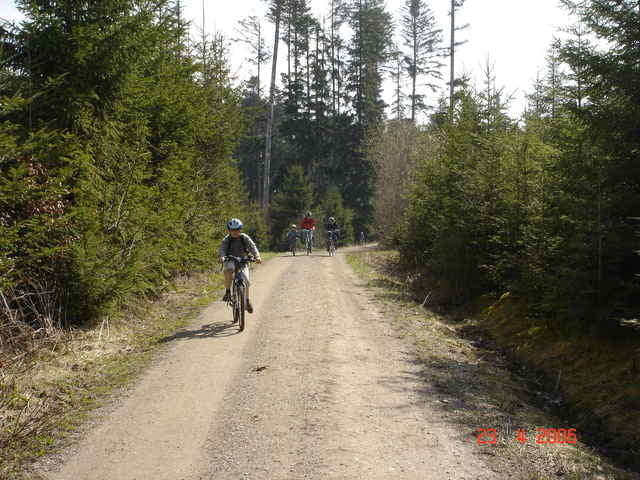

Familenfreundliche Radtour über Feld- und Waldwege:
Aldingen (Kindergarten Ob. Felbenstrasse)-Schlösslesbühl-Pfarrwaldhütte-Kreisstrasse vor Gaugerparkplatz überqueren (Vorsicht!)-nach Gaugerparkplatz li Ri Schura-am Friedhof Schura Kreisstrasse überqueren-Durchhausen 'Höfe'-Talheim/Badesee und zurück
Aldingen (Kindergarten Ob. Felbenstrasse)-Schlösslesbühl-Pfarrwaldhütte-Kreisstrasse vor Gaugerparkplatz überqueren (Vorsicht!)-nach Gaugerparkplatz li Ri Schura-am Friedhof Schura Kreisstrasse überqueren-Durchhausen 'Höfe'-Talheim/Badesee und zurück
Tour map and elevation profile
Minimum height 610 m
Maximum height 788 m
More about the tour author

|
JV |
Comments

GPS tracks
Trackpoints-
GPX / Garmin Map Source (gpx) download
-
TCX / Garmin Training Center® (tcx) download
-
CRS / Garmin Training Center® (crs) download
-
Google Earth (kml) download
-
G7ToWin (g7t) download
-
TTQV (trk) download
-
Overlay (ovl) download
-
Fugawi (txt) download
-
Kompass (DAV) Track (tk) download
-
Track data sheet (pdf) download
-
Original file of the author (gpx) download
More about the tour author
|
|
JV |
Add to my favorites
Remove from my favorites
Edit tags
Open track
My score
Rate