Login

Forgot your login?

Cookies have to be accepted!
Your browser's cookie functionality is disabled. Please enable this functionality.

Not a member yet?

Register now
Login

Available for registred users only

Log in to use this feature.

Forgot your login?

Cookies have to be accepted!
Your browser's cookie functionality is disabled. Please enable this functionality.

Not a member yet?

Register now
Filter
Categories
Advanced filters
  • Distance (km)
  • Height
Save filters Reset filter

TrackRank

QRCode

Technical data

Distance36,1 km Height1453 m Way down714 m Duration03:30 h:m Date21.04.2009
Scores Author Landscape Fun factor Fitness Technique

Statistics

809 Views Scores 171 Downloads Average
Rate
  • Track data sheet
  • Directions
  • Downloads

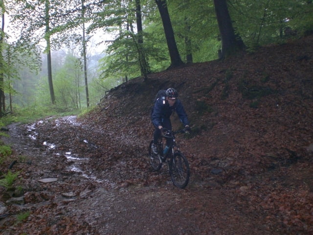
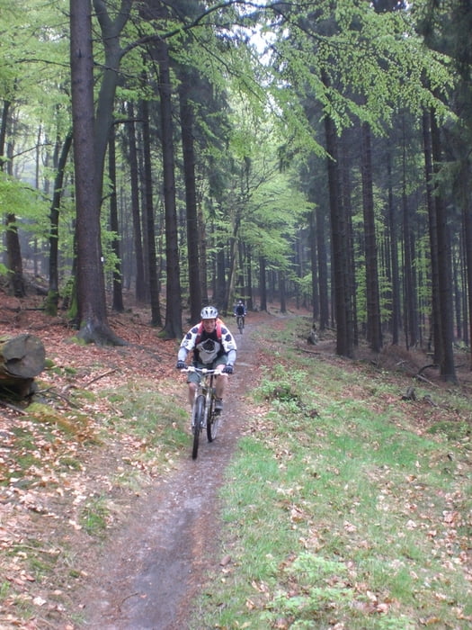
Schöne Tour fast immer nur auf Waldwegen und Trails. So gut wie gar keine Straße. Man bewegt sich die ganze Zeit auf ca. 400m bis es zum Ende hin auf den letzten Kilometern auf über 800m hoch geht.

Am Anfang ist am Neroberg ein Biergarten und am Ende auf dem Feldberg ebenfalls.

Further information at

http://www.feldberghof.de/

Tour gallery

Tour map and elevation profile

  • Open Street Map
  • Google
Minimum height 131 m Maximum height 887 m Detailed view

More about the tour author

Schonz
Member since 2008

Send private message

Comments

Parken kann man sowohl am Anfang der Stecke (an der Nerobahn, Nerotal) als auch am Feldberg.

GPS tracks

Trackpoints
  • GPX / Garmin Map Source (gpx) download
  • TCX / Garmin Training Center® (tcx) download
  • CRS / Garmin Training Center® (crs) download
  • Google Earth (kml) download
  • G7ToWin (g7t) download
  • TTQV (trk) download
  • Overlay (ovl) download
  • Fugawi (txt) download
  • Kompass (DAV) Track (tk) download
  • Track data sheet (pdf) download
  • Original file of the author (gpx) download

More about the tour author

Schonz
Member since 2008

Send private message
Share track
Add to my favorites
Remove from my favorites
Edit tags
My score
Rate
Track: Wiesbaden zum Feldberg mit Cori und Jake
Type: Mountain bike
Distance: 36,1 km
Evaluated on:
Duration:
Day(s)
Hour(s)
Minute(s)
Score: Landscape Fun factor Fitness Technique