


Sehr schöne MTB Tour entlang der Schussen bis Durlesbach dann durch den Wald bis nach Waldbad und entlang der Wolfegger Ach bis Tal und hier auf dem Hauptwanderweg 4 über schöne Single Trails zurück.
Die Tour stammt von
http://www.reisefuehrer-oberschwaben.de/Touren/MTBMountainBike/Oberschwaben/TMTB00006/tabid/309/Default.aspx
Die ersten zwei Drittel sind leicht und ohne Extreme. Die Trails auf dem HW4 sind unterhaltsam und anstrengend. Deshalb auch die 4 bei Kondition.
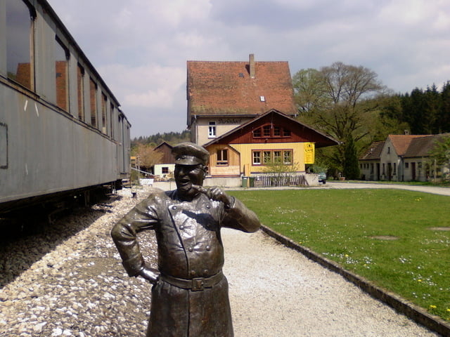
Tour gallery
Tour map and elevation profile
Minimum height 499 m
Maximum height 711 m
More about the tour author
|
|
painfully58 |
Comments

GPS tracks
Trackpoints-
GPX / Garmin Map Source (gpx) download
-
TCX / Garmin Training Center® (tcx) download
-
CRS / Garmin Training Center® (crs) download
-
Google Earth (kml) download
-
G7ToWin (g7t) download
-
TTQV (trk) download
-
Overlay (ovl) download
-
Fugawi (txt) download
-
Kompass (DAV) Track (tk) download
-
Track data sheet (pdf) download
-
Original file of the author (gpx) download
More about the tour author
|
|
painfully58 |
Add to my favorites
Remove from my favorites
Edit tags
Open track
My score
Rate