


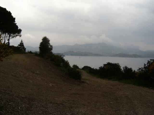
tour from Porto Azzuro, to Rio Elba (street), from there on the mountain top back to Porto Azzuro. Short before Porto Azzuro the track leaves the normal way down to Porto Azzuro (wsee other tracks on this side), using a hard downhill back to Aquabuona.
Hike duration about 10minutes, the rest you can drive.
Hike duration about 10minutes, the rest you can drive.
Further information at
http://www.gps-tour.info/tours/view.php?action=view&entity=list&limitstart=0&country=Italien&federal=ToskanaTour gallery
Tour map and elevation profile
Minimum height -9 m
Maximum height 513 m
More about the tour author
|
|
skyhopper |
Comments

Portoferrario in direction Porto Azzuro, park near the Aquabona golf center.
GPS tracks
Trackpoints-
GPX / Garmin Map Source (gpx) download
-
TCX / Garmin Training Center® (tcx) download
-
CRS / Garmin Training Center® (crs) download
-
Google Earth (kml) download
-
G7ToWin (g7t) download
-
TTQV (trk) download
-
Overlay (ovl) download
-
Fugawi (txt) download
-
Kompass (DAV) Track (tk) download
-
Track data sheet (pdf) download
-
Original file of the author (gpx) download
More about the tour author
|
|
skyhopper |
Add to my favorites
Remove from my favorites
Edit tags
Open track
My score
Rate