


Tour from Copoliveri onto the Mte Calamita, than a long ride down to the east side. Here you can really to jumb with your bike - real fun. Than back over the east side Hotel and the Mte. Calamita back to Copoliveri.
The tour is easy and away from traffic, only the start upto the Mt. Calamita is steep.
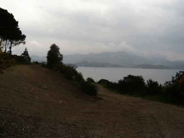
The rest of the trail shows how to drive from Capoliveri to Lacona (Cap Norsi). At the beach you have to hike about 100m (no street). A tourstart at Norsi (viewpoint) could elongate the tour about 40min.
The tour is easy and away from traffic, only the start upto the Mt. Calamita is steep.
The rest of the trail shows how to drive from Capoliveri to Lacona (Cap Norsi). At the beach you have to hike about 100m (no street). A tourstart at Norsi (viewpoint) could elongate the tour about 40min.
Further information at
http://www.gps-tour.info/tours/view.php?action=view&entity=list&limitstart=0&country=Italien&federal=ToskanaTour gallery
Tour map and elevation profile
Minimum height 22 m
Maximum height 412 m
More about the tour author
|
|
skyhopper |
Comments

Porteferrario drive in direction Porto Azzuro, short before Porto Azzuro at the trafic light turn right to Capolivei. In Copoliver there is a parking at the new supermarket (below the city).
For Norsi turn right after Aquabona golg center in direction Lacona. The viewpoint is direct on the street, about 1km right after Norsi.
For Norsi turn right after Aquabona golg center in direction Lacona. The viewpoint is direct on the street, about 1km right after Norsi.
GPS tracks
Trackpoints-
GPX / Garmin Map Source (gpx) download
-
TCX / Garmin Training Center® (tcx) download
-
CRS / Garmin Training Center® (crs) download
-
Google Earth (kml) download
-
G7ToWin (g7t) download
-
TTQV (trk) download
-
Overlay (ovl) download
-
Fugawi (txt) download
-
Kompass (DAV) Track (tk) download
-
Track data sheet (pdf) download
-
Original file of the author (gpx) download
More about the tour author
|
|
skyhopper |
Add to my favorites
Remove from my favorites
Edit tags
Open track
My score
Rate