


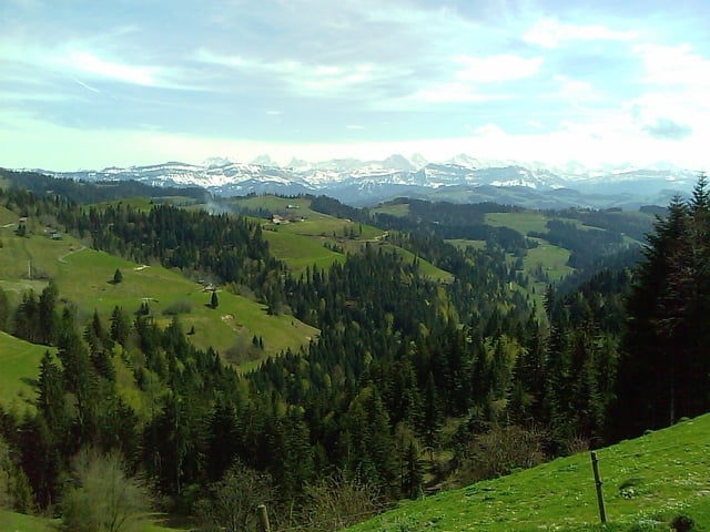
Ab Sumiswald durch Trachselwald, vorbei am schönen Schloss führt der Weg auf den Rücken der Chleinegg. Stetige aber angenehme Steigung bis Lüderenalp (super Ausblick). Anschliessend führt die Route ruppig und steil nach Heimisbach. Landschaftlich sehr schöne Abfahrt. Anschliessend wieder am Schloss vorbei bis nach Sumiwald und weiter nach Wasen. Grössere Steigung (15%) bis Bärhegen. Leichte Abfahrt bis Weier, weiter nach Affoltern. Ein letzter Anstieg führt auf die Anhöhe Hegen mit herrlichem Ausblick. Steile Schlussfahrt nach Sumiswald.
Tour gallery
Tour map and elevation profile
Minimum height 648 m
Maximum height 1177 m
More about the tour author
|
|
resinfield |
Comments

GPS tracks
Trackpoints-
GPX / Garmin Map Source (gpx) download
-
TCX / Garmin Training Center® (tcx) download
-
CRS / Garmin Training Center® (crs) download
-
Google Earth (kml) download
-
G7ToWin (g7t) download
-
TTQV (trk) download
-
Overlay (ovl) download
-
Fugawi (txt) download
-
Kompass (DAV) Track (tk) download
-
Track data sheet (pdf) download
-
Original file of the author (gpx) download
More about the tour author
|
|
resinfield |
Add to my favorites
Remove from my favorites
Edit tags
Open track
My score
Rate