


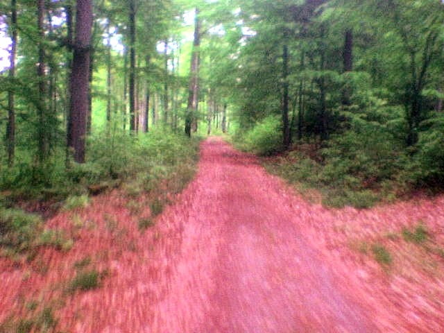
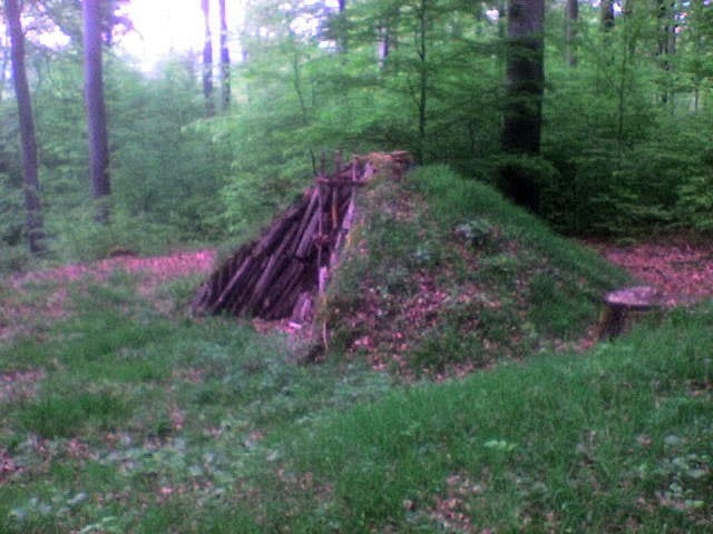
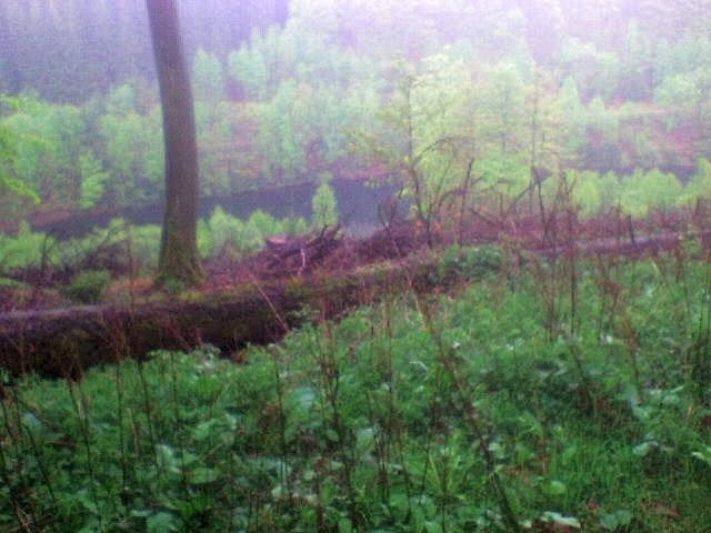
Durch das Forstelbachtal geht es bis zur Talsperre in Nonnweiler. Von da aus immer bergan (ca. 200hm) zum Hunnenring. Fast nur eben geht es dann am Dollberg in Neuhütten vorbei, weiter bis kurz vor Muhl und zurück nach Züsch. Über den Züscher Hammer wieder zum Stause, wo es dann Richtung Hermeskeil (Felke-Siedlung) bergan zum Ende der Tour geht.
Further information at
http://www.keltenring-otzenhausen.deTour gallery

Tour map and elevation profile
Minimum height 400 m
Maximum height 650 m
More about the tour author
|
|
wblasius |
Comments

Mit dem Auto:
auf der A1 Abfahrt Hermeskeil
Mit dem Bus:
den R200 Radbus bis Hermeskeil
GPS tracks
Trackpoints-
GPX / Garmin Map Source (gpx) download
-
TCX / Garmin Training Center® (tcx) download
-
CRS / Garmin Training Center® (crs) download
-
Google Earth (kml) download
-
G7ToWin (g7t) download
-
TTQV (trk) download
-
Overlay (ovl) download
-
Fugawi (txt) download
-
Kompass (DAV) Track (tk) download
-
Track data sheet (pdf) download
-
Original file of the author (gpx) download
More about the tour author
|
|
wblasius |
Add to my favorites
Remove from my favorites
Edit tags
Open track
My score
Rate