


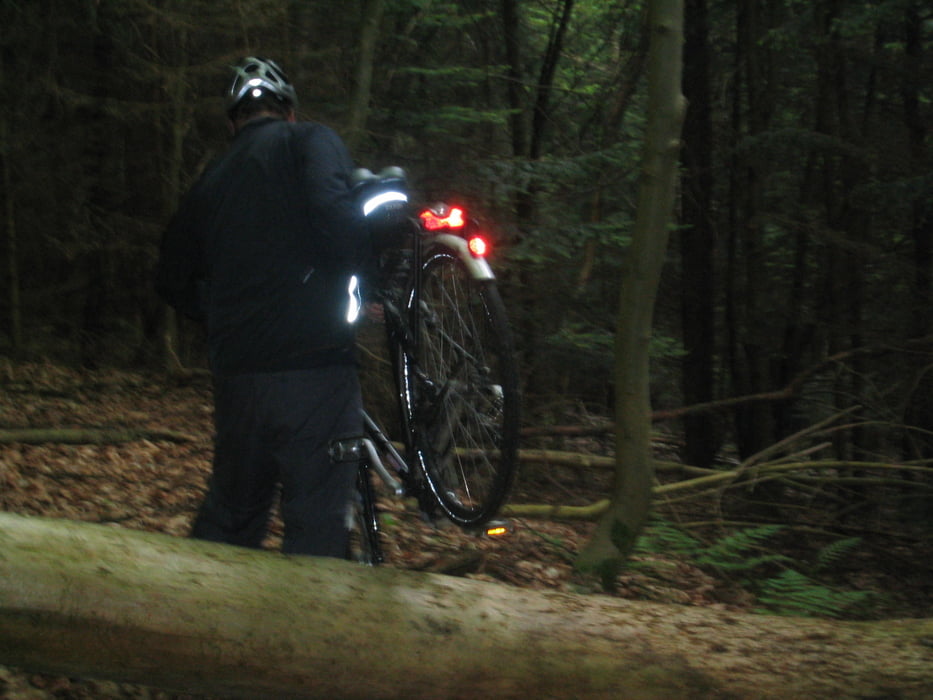
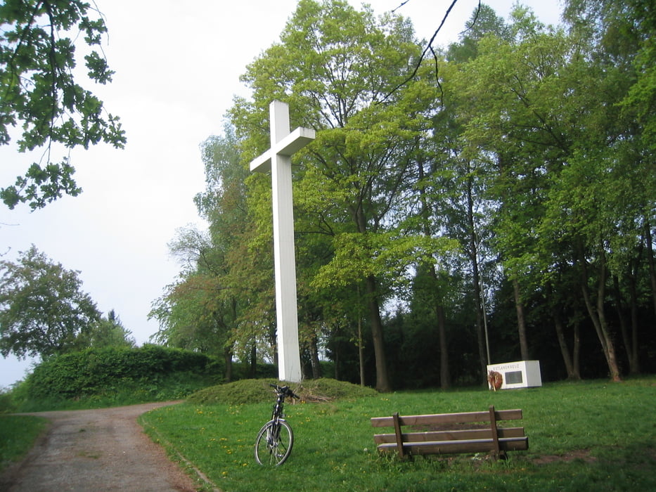
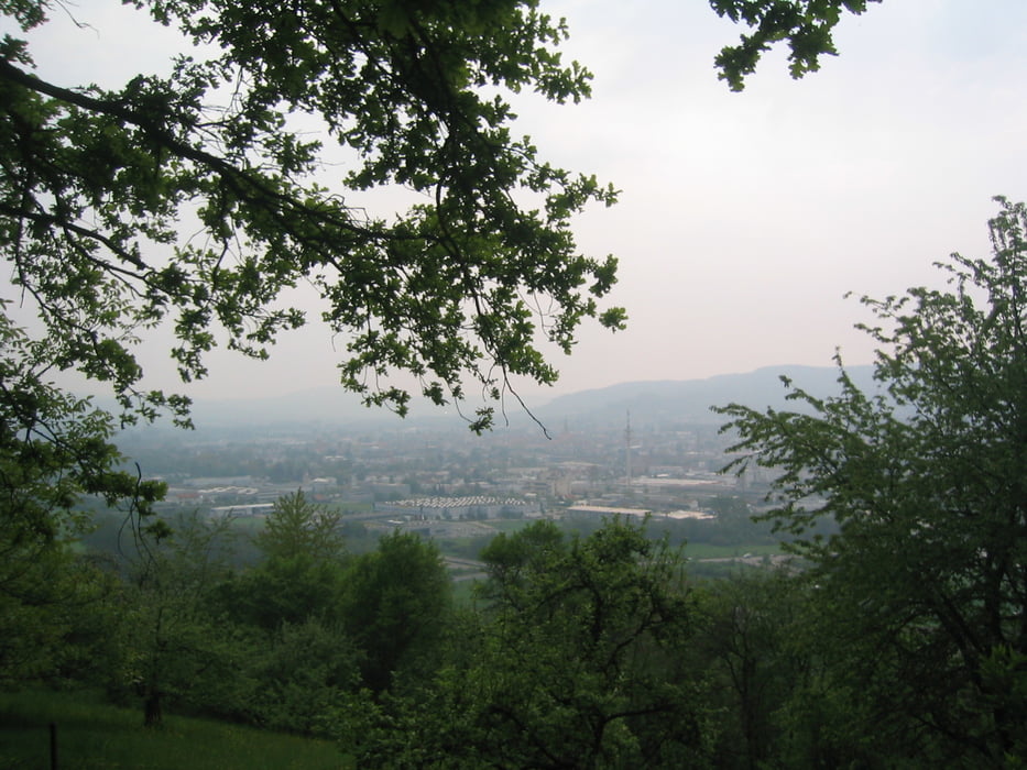
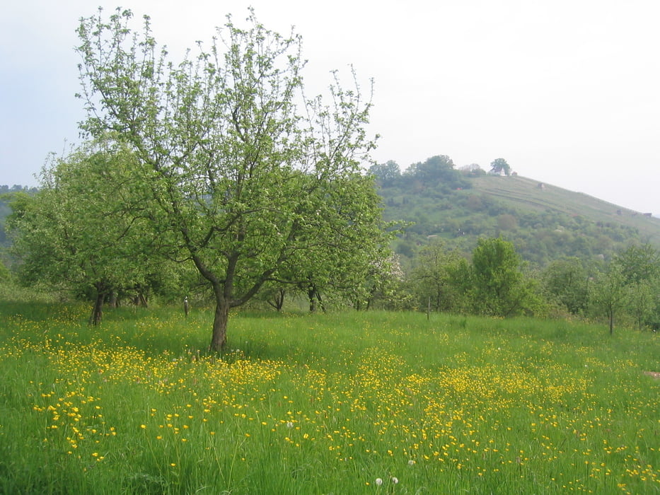
Nette Tour, die durch Wald, Obstbauwiesen und Weinberge führt und mit einigen "Wadenbeißern" angereichert ist. Für Leute, die eine Abwechslung nicht scheuen und außer ihrer Beinmuskulatur auch mal was für Rumpf und Bizeps machen wollen, habe ich eine kurze "crossing"-Etappe eingebaut. Die geht zwischen Weiler und Winterbach quer durch den Wald auf unwegsamen Gelände hinauf bis zu einem annehmbaren Forstweg, dessen Qualität bis Winterbach hinunter aber nicht mehr abnimmt. Nur beim Downhill aufpassen wegen dem Kies, der zum Teil sehr tief aufgeschüttet wurde. Über Winterbach gehts Richtung Schorndorf den Holzberg hinauf, der neben einer schönen Aussicht über das obere Remstal die Möglichkeit bietet, am Ostlandkreuz inne zu halten und in Ruhe die umliegende Schöpfung zu genießen. Am Gotthold-Kamm-Platz in Schorndorf endet die Tour.
Tour gallery
Tour map and elevation profile
Minimum height 252 m
Maximum height 426 m
More about the tour author

|
Guddy |
Comments

GPS tracks
Trackpoints-
GPX / Garmin Map Source (gpx) download
-
TCX / Garmin Training Center® (tcx) download
-
CRS / Garmin Training Center® (crs) download
-
Google Earth (kml) download
-
G7ToWin (g7t) download
-
TTQV (trk) download
-
Overlay (ovl) download
-
Fugawi (txt) download
-
Kompass (DAV) Track (tk) download
-
Track data sheet (pdf) download
-
Original file of the author (gpx) download
More about the tour author
|
|
Guddy |
Add to my favorites
Remove from my favorites
Edit tags
Open track
My score
Rate