Login

Forgot your login?

Cookies have to be accepted!
Your browser's cookie functionality is disabled. Please enable this functionality.

Not a member yet?

Register now
Login

Available for registred users only

Log in to use this feature.

Forgot your login?

Cookies have to be accepted!
Your browser's cookie functionality is disabled. Please enable this functionality.

Not a member yet?

Register now
Filter
Categories
Advanced filters
  • Distance (km)
  • Height
Save filters Reset filter

TrackRank

QRCode

Technical data

Distance42,3 km Height801 m Way down721 m Duration00:00 h:m Date03.05.2009
Scores Author Landscape Fun factor Fitness Technique

Statistics

175 Views Scores 49 Downloads Average
Rate
  • Track data sheet
  • Directions
  • Downloads

Start und Ziel ist die Niedtalhalle in Siersburg.

Zusehen sind aber noch An.-u. nach Hausefahrt. ( sind aber nicht in den Angaben erhalten)
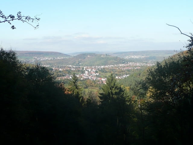
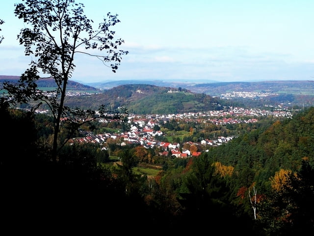
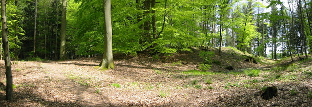
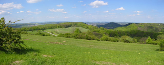
Tour gallery

Tour map and elevation profile

  • Open Street Map
  • Google
Minimum height 136 m Maximum height 370 m Detailed view

More about the tour author

Biker-Tommy
Member since 2009

Send private message

Comments

GPS tracks

Trackpoints
  • GPX / Garmin Map Source (gpx) download
  • TCX / Garmin Training Center® (tcx) download
  • CRS / Garmin Training Center® (crs) download
  • Google Earth (kml) download
  • G7ToWin (g7t) download
  • TTQV (trk) download
  • Overlay (ovl) download
  • Fugawi (txt) download
  • Kompass (DAV) Track (tk) download
  • Track data sheet (pdf) download
  • Original file of the author (gpx) download

More about the tour author

Biker-Tommy
Member since 2009

Send private message
Share track
Add to my favorites
Remove from my favorites
Edit tags
My score
Rate
Track: Oberlimbo-Runde mit Golplatztrail
Type: Mountain bike
Distance: 42,3 km
Evaluated on:
Duration:
Day(s)
Hour(s)
Minute(s)
Score: Landscape Fun factor Fitness Technique