


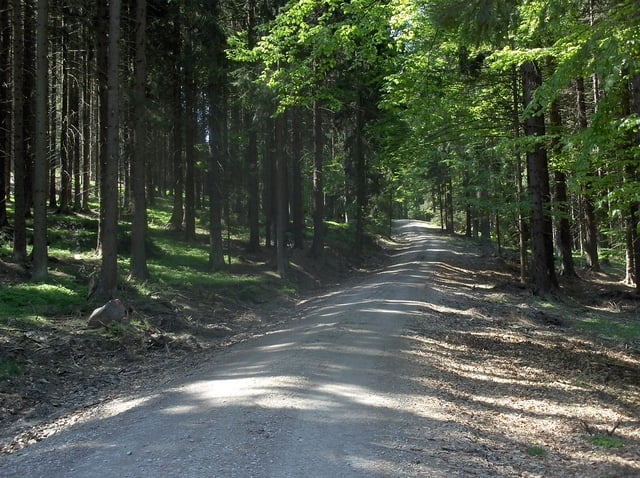
Eine gemütliche Biketour, die man gerne mit der Familie machen kann. Wir waren zu dritt unterwegs, die Anstiege waren weder für meine Frau, noch für unseren 10jährigen Sohn ein Problem...
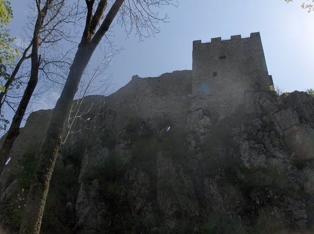
Wir sind die Runde gegen den Uhrzeigersinn gefahren, gute Einkehrmöglichkeiten gibt es in Weißenstein, wo auch die Burgruine Weißenstein besucht werden kann...
Fragen zur Tour beantworte ich gerne...
Lust auf meine Mountainbiketouren in den Alpen und Alpencrosstouren?
www.AlpenX-XL.de
Further information at
http://www.AlpenX-XL.deTour gallery
Tour map and elevation profile
Minimum height 534 m
Maximum height 774 m
More about the tour author
|
|
AlpenX-XL.de |
Comments

GPS tracks
Trackpoints-
GPX / Garmin Map Source (gpx) download
-
TCX / Garmin Training Center® (tcx) download
-
CRS / Garmin Training Center® (crs) download
-
Google Earth (kml) download
-
G7ToWin (g7t) download
-
TTQV (trk) download
-
Overlay (ovl) download
-
Fugawi (txt) download
-
Kompass (DAV) Track (tk) download
-
Track data sheet (pdf) download
-
Original file of the author (gpx) download
More about the tour author
|
|
AlpenX-XL.de |
Add to my favorites
Remove from my favorites
Edit tags
Open track
My score
Rate