
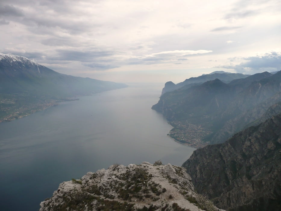

Startpunkt ist das Ortszentrum in Torbole am Hotel-Bermudadreieck. Von dort entlang der Uferstraße bis Riva del Garda und nach Querung der Bundesstraße die Via Ponale leicht aufsteigend bis Pregasina. Im kleinen malerischen Örtchen befindet sich zentral ein kleines Cafe – ideal für Rast oder Zwischenstopp. Wem die bis dorthin zurück gelegten 500 Höhenmeter reichen, fährt wieder rückwärts in ca. 40 Minuten nach Torbole. Die Kilo- und Höhenmeter inkludieren eine etwa 350 Meter Anstieg direkt ab Brunnen zu einer natürlichen “Aussichtsplattform” oberhalb von Pregasina – Auffahr lohnt sich, auch wenn man zur bequemen Auffahrt paar Kilometer in den Beinen haben sollte. Auch nur die Tour nach Pregasina ist die familientaugliche Auffahrt wert.
Further information at
http://www.mountainbike-in-bayern.deTour map and elevation profile
Minimum height 66 m
Maximum height 518 m
More about the tour author
|
|
PegasusEeagel |
Comments

GPS tracks
Trackpoints-
GPX / Garmin Map Source (gpx) download
-
TCX / Garmin Training Center® (tcx) download
-
CRS / Garmin Training Center® (crs) download
-
Google Earth (kml) download
-
G7ToWin (g7t) download
-
TTQV (trk) download
-
Overlay (ovl) download
-
Fugawi (txt) download
-
Kompass (DAV) Track (tk) download
-
Track data sheet (pdf) download
-
Original file of the author (gpx) download
More about the tour author
|
|
PegasusEeagel |
Add to my favorites
Remove from my favorites
Edit tags
Open track
My score
Rate