
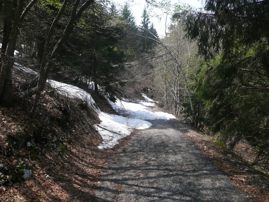

Startpunkt ist das Hoteldreieck in Torbole (siehe Karte unten). Hinter dem Hotel Centrale geht die Auffahrt unmittelbar hoch Richtung Monte Altissimo und steigt auf der kleinen Landstraße in langen Serpentinen hoch bis circa 1300 Meter. Von dort folgt man dem kleinem, geteertem Weg immer weiter Richtung Bergspitze – leider war ziemlich genau bei 1350 Metern wegen Schnee Schluss mit Auffahrt. Rückwärts Richtung Malcesine kommt man auf einen circa 4 Kilometer langen Trial der in vor Malcesine endetet. Von dort die Uferstraße zurück bis Torbole. Für Downhiller sei der Trial empfohlen, mit meinem GHOST Hardtail war der Spaßfaktor geringer, aber machbar.
Further information at
http://www.mountainbike-in-bayern.deTour gallery

Tour map and elevation profile
Minimum height 68 m
Maximum height 1715 m
More about the tour author
|
|
PegasusEeagel |
Comments

GPS tracks
Trackpoints-
GPX / Garmin Map Source (gpx) download
-
TCX / Garmin Training Center® (tcx) download
-
CRS / Garmin Training Center® (crs) download
-
Google Earth (kml) download
-
G7ToWin (g7t) download
-
TTQV (trk) download
-
Overlay (ovl) download
-
Fugawi (txt) download
-
Kompass (DAV) Track (tk) download
-
Track data sheet (pdf) download
-
Original file of the author (gpx) download
More about the tour author
|
|
PegasusEeagel |
Add to my favorites
Remove from my favorites
Edit tags
Open track
My score
Rate