


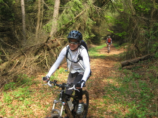
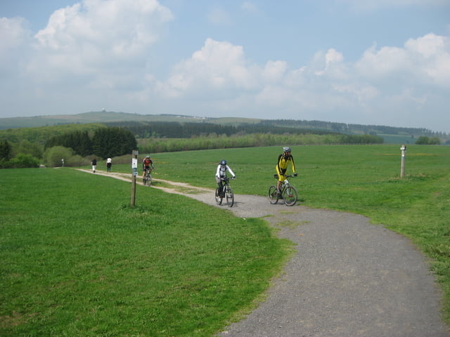
Tag 2 unserer Alpen-Crosser Maientour. Wir starten vom Bäder-Park-Hotel Rhöntherme aus. Den größten Teil habe ich auf meiner "Tour #18748: Rhönrunde mit Start in Fulda / Künzell" bereits beschrieben. Hauptziel war der Holzberghof zur Mitagszeit. Aus Zeitgründen haben wir den Heidelstein und die Hohe Hölle ausgelassen und sind den R1 zurückgedüst (Maximum-Speed 65km/h) - keine schlechte Strecke, wenn nicht zuviele "Radtouristen" unterwegs sind. In Eichenzell sind wir noch auf ein Eis und Cappuchino eingekehrt. Die Strecke zurück nach Fulda/Künzell von da aus ist natürlich unspektakulär.
Further information at
http://www.rhoen.de/Tour gallery
Tour map and elevation profile
Minimum height 255 m
Maximum height 910 m
More about the tour author
|
|
mconze |
Comments

BAB A7 Ausfahrt Fulda-Mitte (neu!) nach Künzell, Bäder-Park Hotel / Rhöntherme ist ab dort ausgeschildert. Navi-Adresse: Künzell / Harbacher Weg 66. Großer Parkplatz vorhanden.
GPS tracks
Trackpoints-
GPX / Garmin Map Source (gpx) download
-
TCX / Garmin Training Center® (tcx) download
-
CRS / Garmin Training Center® (crs) download
-
Google Earth (kml) download
-
G7ToWin (g7t) download
-
TTQV (trk) download
-
Overlay (ovl) download
-
Fugawi (txt) download
-
Kompass (DAV) Track (tk) download
-
Track data sheet (pdf) download
-
Original file of the author (gpx) download
More about the tour author
|
|
mconze |
Add to my favorites
Remove from my favorites
Edit tags
Open track
My score
Rate