
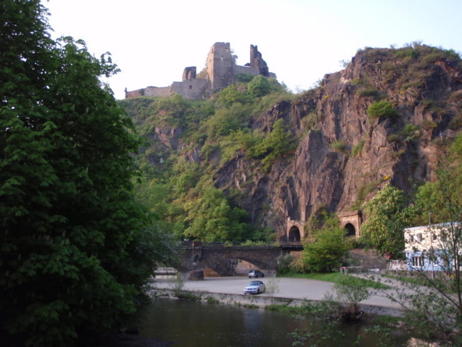

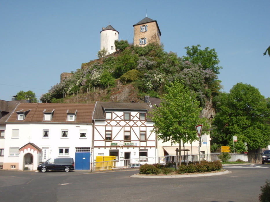
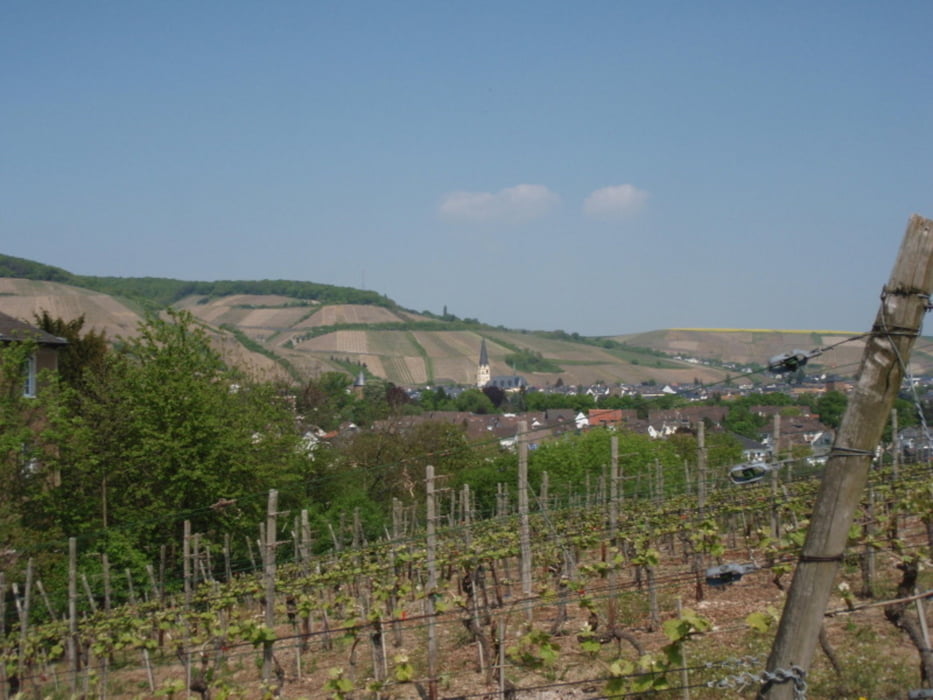
Schöne Rundtour durch die Felswelt der Mittelahr. Unbedingt sehenswert ist Ahrweiler, mittelalterliches Stadtbild mit Stadttoren und Stadtmauer! Die Tour ist auch mit einem Treckingrad zu schaffen, die Strecke von Kreuzberg bis Kesseling kann auch auf der Landstraße gefahren werden.
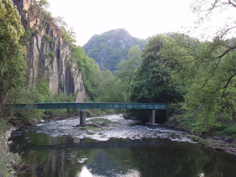
Der Streckenabschnitt durch das Langfigtal (Reimerzhofen - Altenburg) ist eigentlich für Fußgänger gedacht, deshalb ist hier im Sinne aller Radfahrer erhöhte Rücksicht angebracht! Abstecher lohnt sich aber insbesondere für Mountainbikes.
Tour gallery
Tour map and elevation profile
Minimum height 107 m
Maximum height 472 m
More about the tour author

|
wanderer_09 |
Comments

GPS tracks
Trackpoints-
GPX / Garmin Map Source (gpx) download
-
TCX / Garmin Training Center® (tcx) download
-
CRS / Garmin Training Center® (crs) download
-
Google Earth (kml) download
-
G7ToWin (g7t) download
-
TTQV (trk) download
-
Overlay (ovl) download
-
Fugawi (txt) download
-
Kompass (DAV) Track (tk) download
-
Track data sheet (pdf) download
-
Original file of the author (gpx) download
More about the tour author
|
|
wanderer_09 |
Add to my favorites
Remove from my favorites
Edit tags
Open track
My score
Rate