Login

Forgot your login?

Cookies have to be accepted!
Your browser's cookie functionality is disabled. Please enable this functionality.

Not a member yet?

Register now
Login

Available for registred users only

Log in to use this feature.

Forgot your login?

Cookies have to be accepted!
Your browser's cookie functionality is disabled. Please enable this functionality.

Not a member yet?

Register now
Filter
Categories
Advanced filters
  • Distance (km)
  • Height
Save filters Reset filter

TrackRank

QRCode

Technical data

Distance14,3 km Height348 m Way down338 m Duration00:00 h:m Date08.05.2009
Scores Author Landscape Fun factor Fitness Technique

Statistics

271 Views 1 Score 61 Downloads 5.00 Average
Rate
  • Track data sheet
  • Directions
  • Downloads

Los gehts in Kall am Aktiv Park Hannes über den Wackerberg, ein Stück den

Eifelsteig entlang durch Golbach durch um den Pferdekopf herum 

auf den Pferdekopf hoch und zurück nach Kall
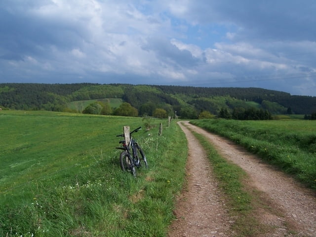
Tour gallery

Tour map and elevation profile

  • Open Street Map
  • Google
Minimum height 355 m Maximum height 529 m Detailed view

More about the tour author

Klnge
Member since 2009

Send private message

Comments

GPS tracks

Trackpoints
  • GPX / Garmin Map Source (gpx) download
  • TCX / Garmin Training Center® (tcx) download
  • CRS / Garmin Training Center® (crs) download
  • Google Earth (kml) download
  • G7ToWin (g7t) download
  • TTQV (trk) download
  • Overlay (ovl) download
  • Fugawi (txt) download
  • Kompass (DAV) Track (tk) download
  • Track data sheet (pdf) download
  • Original file of the author (gpx) download

More about the tour author

Klnge
Member since 2009

Send private message
Share track
Add to my favorites
Remove from my favorites
Edit tags
My score
Rate
Track: Feierabendrunde um Kall
Type: Mountain bike
Distance: 14,3 km
Evaluated on:
Duration:
Day(s)
Hour(s)
Minute(s)
Score: Landscape Fun factor Fitness Technique