Login

Forgot your login?

Cookies have to be accepted!
Your browser's cookie functionality is disabled. Please enable this functionality.

Not a member yet?

Register now
Login

Available for registred users only

Log in to use this feature.

Forgot your login?

Cookies have to be accepted!
Your browser's cookie functionality is disabled. Please enable this functionality.

Not a member yet?

Register now
Filter
Categories
Advanced filters
  • Distance (km)
  • Height
Save filters Reset filter

TrackRank

QRCode

Technical data

Distance59,6 km Height1510 m Way down1480 m Duration00:00 h:m Date09.05.2009
Scores Author User Landscape Fun factor Fitness Technique

Statistics

625 Views 2 Scores 155 Downloads 2.00 Average
Rate
  • Track data sheet
  • Directions
  • Downloads
Achern-Burgwindeck-Hundseck-Hochkopf-Untersmatt-Aschenplatz-Ochsenstall-Hornisgrinde-Mummelsee-Breitenbrunnen-Schnappsbrunnen-Achern.
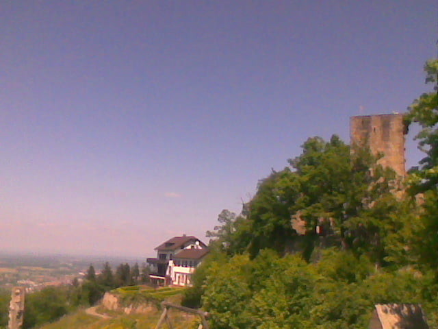
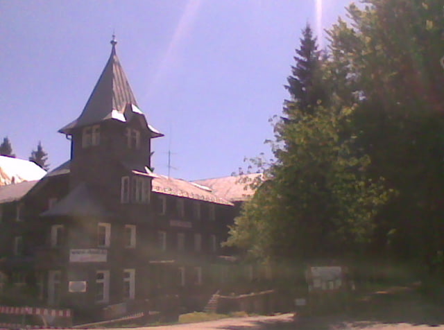
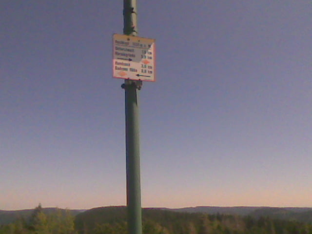
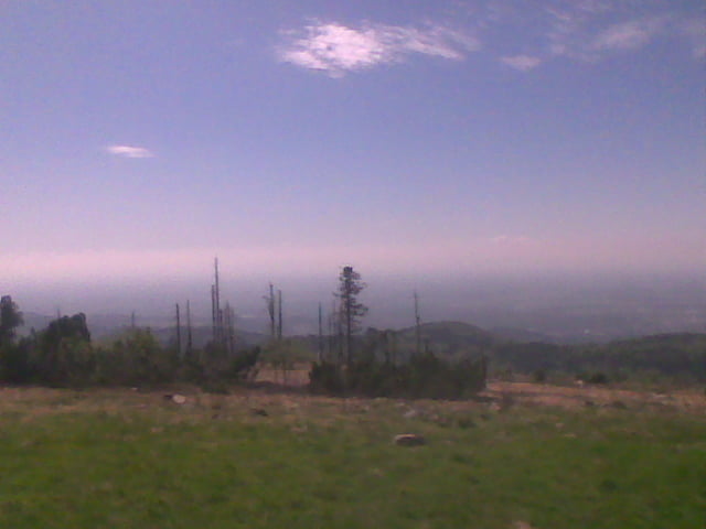
Tour gallery

Tour map and elevation profile

  • Open Street Map
  • Google
Minimum height 142 m Maximum height 1163 m Detailed view

More about the tour author

RT-Cycles
Member since 2009

Send private message

Comments

bastosboi on 30.05.2014

"Freeride"?

Der Autor und ich haben wohl sehr unterschiedliche Definitionen von Freeride. Freeride heißt hier wohl, dass man Hände frei fahren kann?

Stellenweise tolle Trails, allerdings auf gefühlten 3 von 60 Kilometern. Rest ist Schotter-/Forstweggeballer. Zum Hochfahren ja in Ordnung, aber für diese Abfahrt lohnt sich das nicht.
trilkin on 31.05.2014

Freeride

Schöne Gegend und schöne Aussicht. Hochfahrt super, da angenehme Steigung und guter Untergund.
Bei der Abfahrt aber leider viel zu wenig Trails auf den rund 1600hm. Gute Stellen sind

- direkt nach Untersmatt ein kleines steiles Stück
- direkt nach der Hornisgrinde die ersten 100hm
- ca. 5 min nach dem Schnapsbrunnen

Sonst leider Forstautobahnen. Lässt sich also noch ein wenig optimieren.

GPS tracks

Trackpoints
  • GPX / Garmin Map Source (gpx) download
  • TCX / Garmin Training Center® (tcx) download
  • CRS / Garmin Training Center® (crs) download
  • Google Earth (kml) download
  • G7ToWin (g7t) download
  • TTQV (trk) download
  • Overlay (ovl) download
  • Fugawi (txt) download
  • Kompass (DAV) Track (tk) download
  • Track data sheet (pdf) download
  • Original file of the author (gpx) download

More about the tour author

RT-Cycles
Member since 2009

Send private message
Share track
Add to my favorites
Remove from my favorites
Edit tags
My score
Rate
Track: Achern Freeride-Tour 04
Type: Mountain bike
Distance: 59,6 km
Evaluated on:
Duration:
Day(s)
Hour(s)
Minute(s)
Score: Landscape Fun factor Fitness Technique