


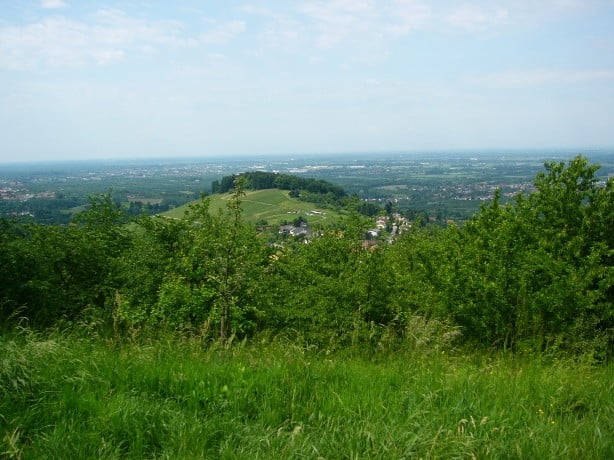
Von Bühl-Eisental am Trottenplatz/Schartenberghalle packen wir unsere Fahrräder aus und fahren über Asphalt nach Altschweier weiter nach Kappelwindeck und durch die Weinberge auf die Burg Windeck. Von dort hat man eine grandiose Sicht in die Rheinebene. Über Schotter fahren wir weiter zum Neusatzeck und zum Hundseck hoch. Dort angekommen neben wir den Westweg bis Sand und fahren weiter zum Plättig. Von dort geht es nur noch bergab über die Kohlbergwiese zur Bildeiche und zurück nach Eisental.
Fazit: Eine schöne Feierabendrunde die auch zum Training verwendet werden kann. Schöner Anstieg, nicht zu steil und eine lange nicht zu steile Abfahrt. Viel Spaß
Tour gallery
Tour map and elevation profile
Minimum height 125 m
Maximum height 899 m
More about the tour author
|
|
anditheeagle |
Comments

A5 Ausfahrt Bühl, auf die alte B3 Richtung Eisental. Nach der Affentaler WG an der Ampel rechts in den Ort. An der Wendelinuskapelle links in die Kirchbachstrasse und weiter bis zur Schule/Schartenberghalle/Trottenplatz. Dort stehen Parkplätze zur Verfügung.
GPS tracks
Trackpoints-
GPX / Garmin Map Source (gpx) download
-
TCX / Garmin Training Center® (tcx) download
-
CRS / Garmin Training Center® (crs) download
-
Google Earth (kml) download
-
G7ToWin (g7t) download
-
TTQV (trk) download
-
Overlay (ovl) download
-
Fugawi (txt) download
-
Kompass (DAV) Track (tk) download
-
Track data sheet (pdf) download
-
Original file of the author (gpx) download
More about the tour author
|
|
anditheeagle |
Add to my favorites
Remove from my favorites
Edit tags
Open track
My score
Rate