Login

Forgot your login?

Cookies have to be accepted!
Your browser's cookie functionality is disabled. Please enable this functionality.

Not a member yet?

Register now
Login

Available for registred users only

Log in to use this feature.

Forgot your login?

Cookies have to be accepted!
Your browser's cookie functionality is disabled. Please enable this functionality.

Not a member yet?

Register now
Filter
Categories
Advanced filters
  • Distance (km)
  • Height
Save filters Reset filter

TrackRank

QRCode

Technical data

Distance53,3 km Height752 m Way down750 m Duration03:30 h:m Date10.05.2009
Scores Author User Landscape Fun factor Fitness Technique

Statistics

717 Views 1 Score 187 Downloads 3.00 Average
Rate
  • Track data sheet
  • Directions
  • Downloads
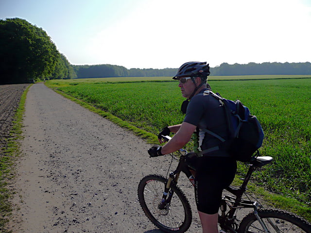
Tour von Marl Sinsen durch die Haard, leider rd. 12 km kürzer als die originale CTF.
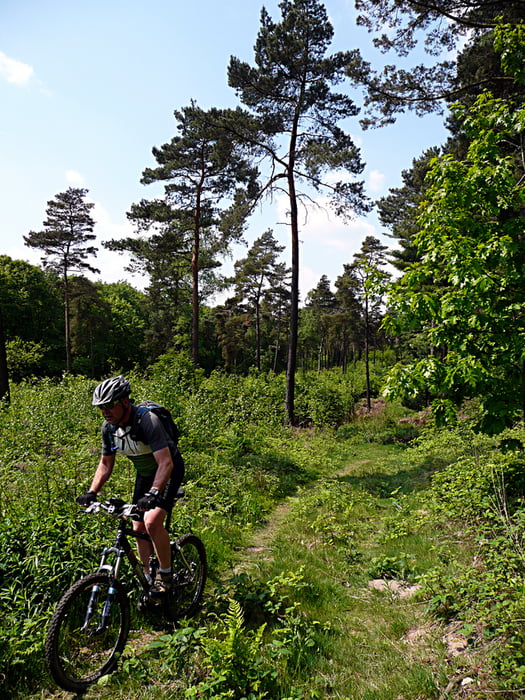
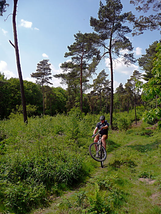
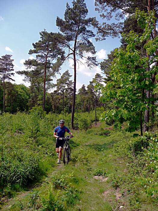
Tour gallery

Tour map and elevation profile

  • Open Street Map
  • Google
Minimum height 42 m Maximum height 153 m Detailed view

More about the tour author

tottreter
Member since 2006

Send private message

Comments

Terence on 05.09.2010

Viel Gelände!

Tolle Tour mit sehr viel Geländeanteil.
Man sollte aber mit langer Hose fahren, da es oft durch Brennesseln geht.

GPS tracks

Trackpoints
  • GPX / Garmin Map Source (gpx) download
  • TCX / Garmin Training Center® (tcx) download
  • CRS / Garmin Training Center® (crs) download
  • Google Earth (kml) download
  • G7ToWin (g7t) download
  • TTQV (trk) download
  • Overlay (ovl) download
  • Fugawi (txt) download
  • Kompass (DAV) Track (tk) download
  • Track data sheet (pdf) download
  • Original file of the author (gpx) download

More about the tour author

tottreter
Member since 2006

Send private message
Share track
Add to my favorites
Remove from my favorites
Edit tags
My score
Rate
Track: CTF Haard 2009
Type: Mountain bike
Distance: 53,3 km
Evaluated on:
Duration:
Day(s)
Hour(s)
Minute(s)
Score: Landscape Fun factor Fitness Technique