Login

Forgot your login?

Cookies have to be accepted!
Your browser's cookie functionality is disabled. Please enable this functionality.

Not a member yet?

Register now
Login

Available for registred users only

Log in to use this feature.

Forgot your login?

Cookies have to be accepted!
Your browser's cookie functionality is disabled. Please enable this functionality.

Not a member yet?

Register now
Filter
Categories
Advanced filters
  • Distance (km)
  • Height
Save filters Reset filter

TrackRank

QRCode

Technical data

Distance39,9 km Height1313 m Way down1319 m Duration04:00 h:m Date10.05.2009
Scores Author User Landscape Fun factor Fitness Technique

Statistics

2608 Views 2 Scores 536 Downloads 4.00 Average
Rate
  • Track data sheet
  • Directions
  • Downloads

nette Tour durch die waldigen Forstwege zwischen Tegernsee und Schliersee.

Im Alpbachtal teilweise steile Auffahrten.

Längere Schiebepassage beim Kühpaß, dann ein schwieriger schmaler Wald-Trialpfad bis zum Forstweg Richtung Neuhaus.

Lange Asphaltstraßen-Auffahrt von Hausham zur Gindelalm. Am Ende sehr steil abfallender Forstweg nach Tegernsee

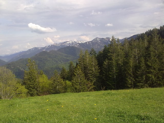
Schöne Ausblicke auf den Tegernsee und Schliersee.
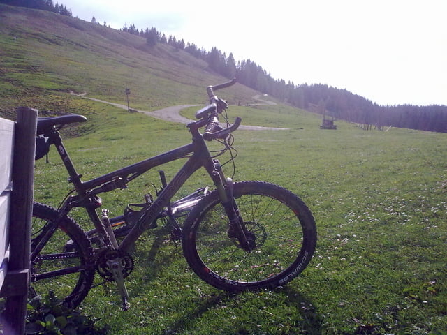
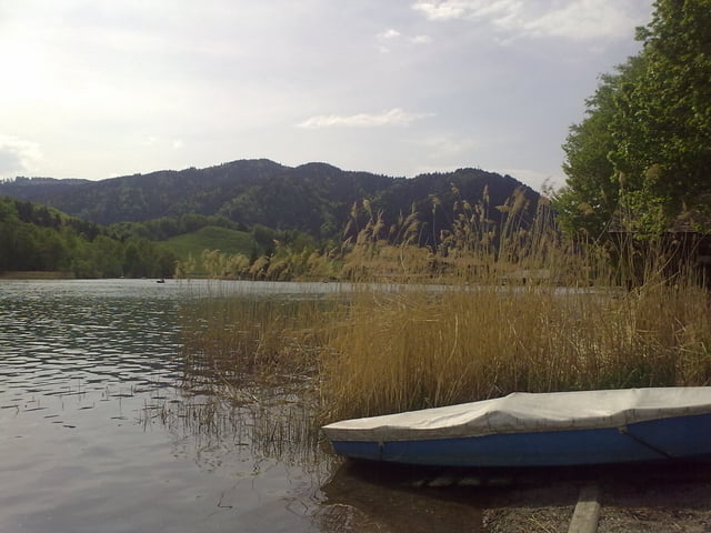
Tour gallery

Tour map and elevation profile

  • Open Street Map
  • Google
Minimum height 759 m Maximum height 1292 m Detailed view

More about the tour author

p0rr4d4
Member since 2008

Send private message

Comments

cb1976 on 28.05.2012

Schöne Tour

auch in umgekehrter Richtung und ließ sich auch angeschlagen mit aufkommender Erkältung bewältigen. Bin allerdings ab Rottach Egern / Hagrain losgefahren, und so waren es dann lt. GPS 41,8km bei 1215Hm. Gefahren in 3:05 Min. Den einen Trail (km 15-18) habe ich aber wegen der späten Uhrzeit ausgelassen. Dafür war der Trail Teil (km 5-7) in meiner Fahrtrichtung Teil des diesjährigen MTB Marathon.
B307 zum Tegernsee oder mit der BOB zum Bahnhof Tegernsee.

GPS tracks

Trackpoints
  • GPX / Garmin Map Source (gpx) download
  • TCX / Garmin Training Center® (tcx) download
  • CRS / Garmin Training Center® (crs) download
  • Google Earth (kml) download
  • G7ToWin (g7t) download
  • TTQV (trk) download
  • Overlay (ovl) download
  • Fugawi (txt) download
  • Kompass (DAV) Track (tk) download
  • Track data sheet (pdf) download
  • Original file of the author (gpx) download

More about the tour author

p0rr4d4
Member since 2008

Send private message
Share track
Add to my favorites
Remove from my favorites
Edit tags
My score
Rate
Track: Von Tegernsee um die Gindelalmschneid - Schliersee
Type: Mountain bike
Distance: 39,9 km
Evaluated on:
Duration:
Day(s)
Hour(s)
Minute(s)
Score: Landscape Fun factor Fitness Technique