


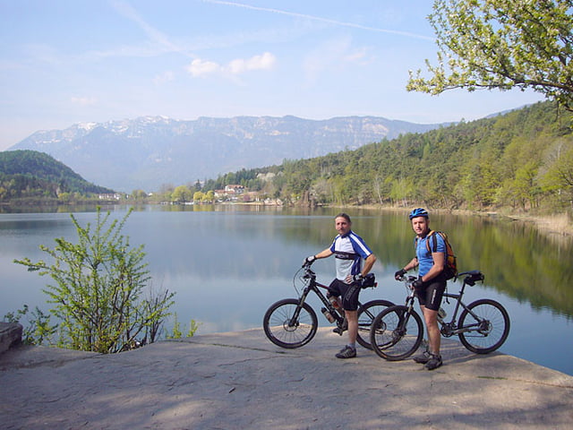
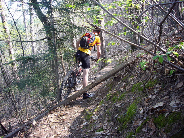
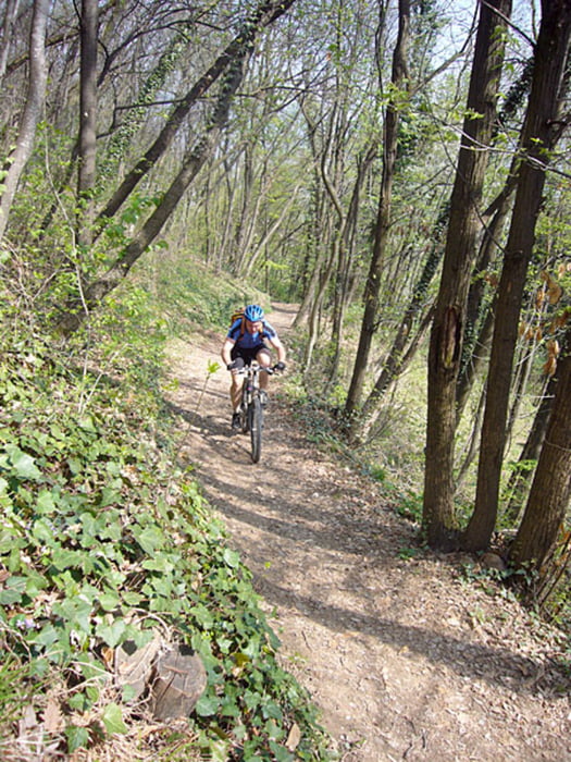
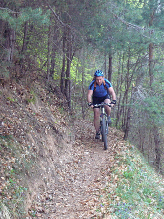
Start in Kaltern. Fahrt durch Weinberge zum kleinen und großen Montiggler See. Von dort aus auf Waldwegen und einigen Trails bis nach Eppan. Kurzer Anstieg zur Kirche St. Michael und Besuch bei den Eislöchern. Danach auf Straße zum Mendelpass hinauf (ich weiß, dafür braucht man kein MTB). Mendelpass wieder runter und auf den Kalterer Höhenweg abbiegen. Nach wenigen Kilometern Einstieg in Singletrail-Strecke nach Kaltern hinunter.
Further information at
http://www.velotouren.net/radtouren/touren/touren2009/suedtirol/Tour gallery
Tour map and elevation profile
Minimum height 373 m
Maximum height 1363 m
More about the tour author
|
|
Moppedcarlo |
Comments

GPS tracks
Trackpoints-
GPX / Garmin Map Source (gpx) download
-
TCX / Garmin Training Center® (tcx) download
-
CRS / Garmin Training Center® (crs) download
-
Google Earth (kml) download
-
G7ToWin (g7t) download
-
TTQV (trk) download
-
Overlay (ovl) download
-
Fugawi (txt) download
-
Kompass (DAV) Track (tk) download
-
Track data sheet (pdf) download
-
Original file of the author (gpx) download
More about the tour author
|
|
Moppedcarlo |
Add to my favorites
Remove from my favorites
Edit tags
Open track
My score
Rate