


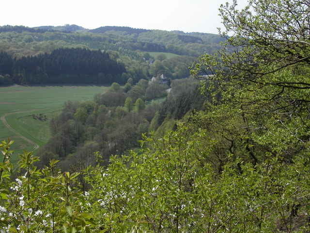
Anstrengend, heftige Anstiege, tolle Abfahrten. Etwa halbe Strecke Asphalt, halbe Strecke Wald. Von Volmarstein nach Hagen-Haspe. Huegelkette nach Ennepetal-Voerde ueberwinden. Weiter ueber Anstieg durch Wald und Abfahrt Richtung Peddenoede. Dann Anstieg mit anschliessender Abfahrt zur Hasper Talsperre.
Tour gallery
Tour map and elevation profile
Minimum height 115 m
Maximum height 354 m
More about the tour author

|
Klaus Enke |
Comments
Start Parkplatz der "Evangelischen Stiftung Volmarstein" (aus allen Richtungen beschildert.
Kuerzere Fassung laesst sich auch in Hagen-Haspe starten.
Kuerzere Fassung laesst sich auch in Hagen-Haspe starten.
GPS tracks
Trackpoints-
GPX / Garmin Map Source (gpx) download
-
TCX / Garmin Training Center® (tcx) download
-
CRS / Garmin Training Center® (crs) download
-
Google Earth (kml) download
-
G7ToWin (g7t) download
-
TTQV (trk) download
-
Overlay (ovl) download
-
Fugawi (txt) download
-
Kompass (DAV) Track (tk) download
-
Track data sheet (pdf) download
-
Original file of the author (gpx) download
More about the tour author
|
|
Klaus Enke |
Add to my favorites
Remove from my favorites
Edit tags
Open track
My score
Rate
geogrfische Zuordnung
die Tour ist falsch zugeordnet. Das ist kein Sauerland. Hagen und der Ennepe-Ruhr-Kreis gehören eindeutig zum Ruhrgebiet!
Ansonsten eine schöne Tour.