Login

Forgot your login?

Cookies have to be accepted!
Your browser's cookie functionality is disabled. Please enable this functionality.

Not a member yet?

Register now
Login

Available for registred users only

Log in to use this feature.

Forgot your login?

Cookies have to be accepted!
Your browser's cookie functionality is disabled. Please enable this functionality.

Not a member yet?

Register now
Filter
Categories
Advanced filters
  • Distance (km)
  • Height
Save filters Reset filter

TrackRank

QRCode

Technical data

Distance29,9 km Height443 m Way down445 m Duration02:30 h:m Date17.05.2009
Scores Author User Landscape Fun factor Fitness Technique

Statistics

764 Views 1 Score 133 Downloads 5.00 Average
Rate
  • Track data sheet
  • Directions
  • Downloads

17.05.2009

unspektakuläre 2 1/2 Stunden Tour.

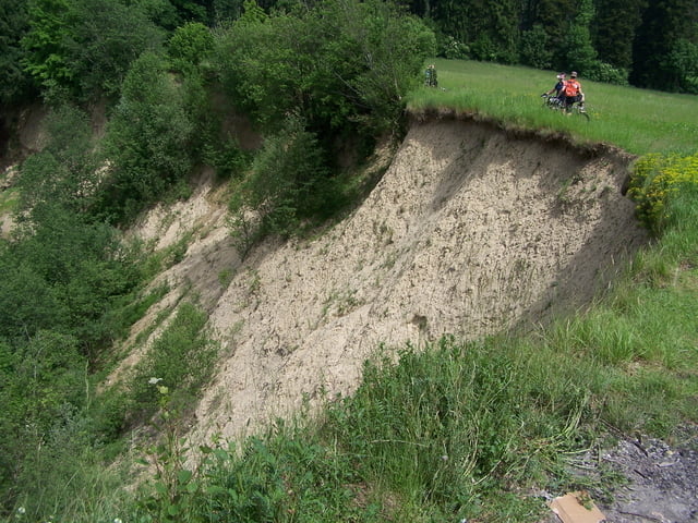
Leichter Nervenkitzel bei der Abfahrt nach Leimbach über den MTB Trail.

Further information at

http://www.markdorf.de

Tour gallery

Tour map and elevation profile

  • Open Street Map
  • Google
Minimum height 412 m Maximum height 720 m Detailed view

More about the tour author

plattfuss
Member since 2007

Send private message

Comments

GPS tracks

Trackpoints
  • GPX / Garmin Map Source (gpx) download
  • TCX / Garmin Training Center® (tcx) download
  • CRS / Garmin Training Center® (crs) download
  • Google Earth (kml) download
  • G7ToWin (g7t) download
  • TTQV (trk) download
  • Overlay (ovl) download
  • Fugawi (txt) download
  • Kompass (DAV) Track (tk) download
  • Track data sheet (pdf) download
  • Original file of the author (gpx) download

More about the tour author

plattfuss
Member since 2007

Send private message
Share track
Add to my favorites
Remove from my favorites
Edit tags
My score
Rate
Track: Gehrenberg und zurück
Type: Mountain bike
Distance: 29,9 km
Evaluated on:
Duration:
Day(s)
Hour(s)
Minute(s)
Score: Landscape Fun factor Fitness Technique