Login

Forgot your login?

Cookies have to be accepted!
Your browser's cookie functionality is disabled. Please enable this functionality.

Not a member yet?

Register now
Login

Available for registred users only

Log in to use this feature.

Forgot your login?

Cookies have to be accepted!
Your browser's cookie functionality is disabled. Please enable this functionality.

Not a member yet?

Register now
Filter
Categories
Advanced filters
  • Distance (km)
  • Height
Save filters Reset filter

TrackRank

QRCode

Technical data

Distance45,1 km Height893 m Way down877 m Duration03:40 h:m Date17.05.2009
Scores Author User Landscape Fun factor Fitness Technique

Statistics

9533 Views 7 Scores 684 Downloads 4.14 Average
Rate
  • Track data sheet
  • Directions
  • Downloads

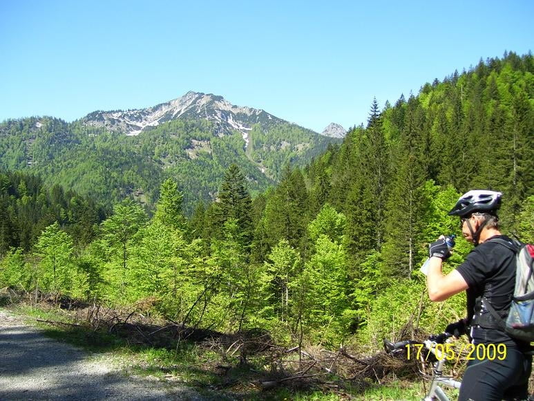
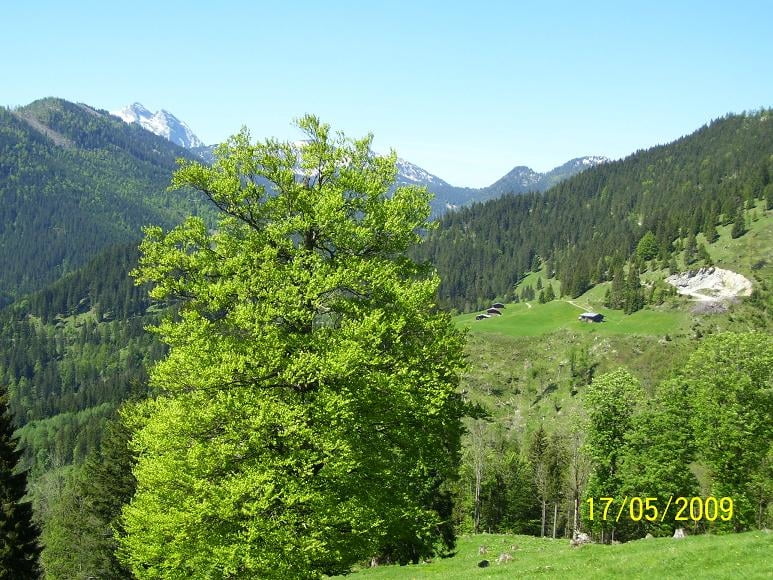
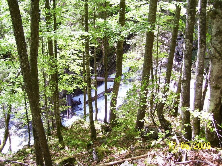
Start der Tour in Rottach kurz vor der Wallberg-Bergbahn, wieter Richtung Valepp dann zur Erzherzog Johann Klause und über Bayralm zurück nach Rottach.

Sehr schöne Tour mit super Aussicht zum Schinder und Guffert.

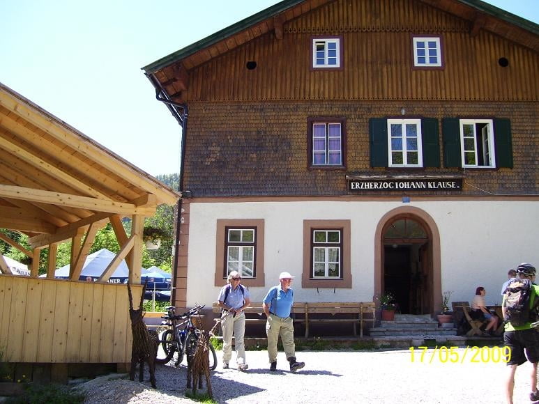
Gute Einkehrmöglichkeit in der Erzherzog Johann Klause.

Tour gallery

Tour map and elevation profile

  • Open Street Map
  • Google
Minimum height 742 m Maximum height 1095 m Detailed view

More about the tour author

bmwmai
Member since 2008

Send private message

Comments

eltomo on 30.08.2009

Schöne Tour!

Bin die Tour gefahren hat mir sehr Gut gefallen.
Knappelli on 15.08.2015

Klasse Tour

Die Streckenführung ist großartig und zeigt sich landschaftlich von ihrer besten Seite. Entspricht der Tour 29 "Rund um den Schinder" aus dem Band Mangfallgebirge" von Manfred Korbaj. Gefahren im August 2015.

GPS tracks

Trackpoints
  • GPX / Garmin Map Source (gpx) download
  • TCX / Garmin Training Center® (tcx) download
  • CRS / Garmin Training Center® (crs) download
  • Google Earth (kml) download
  • G7ToWin (g7t) download
  • TTQV (trk) download
  • Overlay (ovl) download
  • Fugawi (txt) download
  • Kompass (DAV) Track (tk) download
  • Track data sheet (pdf) download
  • Original file of the author (gpx) download

More about the tour author

bmwmai
Member since 2008

Send private message
Share track
Add to my favorites
Remove from my favorites
Edit tags
My score
Rate
Track: Rottach -Erzherzog Johann Klause
Type: Mountain bike
Distance: 45,1 km
Evaluated on:
Duration:
Day(s)
Hour(s)
Minute(s)
Score: Landscape Fun factor Fitness Technique