Login

Forgot your login?

Cookies have to be accepted!
Your browser's cookie functionality is disabled. Please enable this functionality.

Not a member yet?

Register now
Login

Available for registred users only

Log in to use this feature.

Forgot your login?

Cookies have to be accepted!
Your browser's cookie functionality is disabled. Please enable this functionality.

Not a member yet?

Register now
Filter
Categories
Advanced filters
  • Distance (km)
  • Height
Save filters Reset filter

TrackRank

QRCode

Technical data

Distance46,5 km Height1008 m Way down1020 m Duration03:30 h:m Date18.05.2009
Scores Author Landscape Fun factor Fitness Technique

Statistics

797 Views 1 Score 75 Downloads 4.00 Average
Rate
  • Track data sheet
  • Directions
  • Downloads

Start und Parken: Theley In Reisten


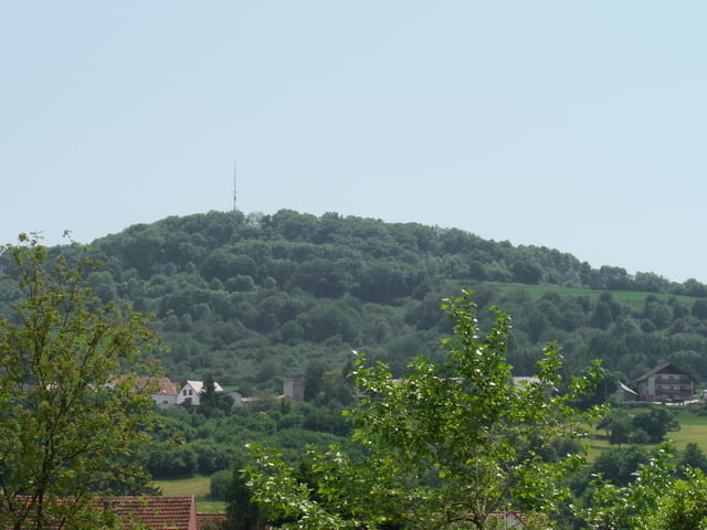
Anspruchsvolle Tour mit einigen Singletrails über den Schaumberg,Momberg zum Bostalsee.

Zurück geht es über Selbach,Imsbach (Offiziersweg) nach Theley.

Tour map and elevation profile

  • Open Street Map
  • Google
Minimum height 332 m Maximum height 570 m Detailed view

More about the tour author

aggi
Member since 2009

Send private message

Comments

GPS tracks

Trackpoints
  • GPX / Garmin Map Source (gpx) download
  • TCX / Garmin Training Center® (tcx) download
  • CRS / Garmin Training Center® (crs) download
  • Google Earth (kml) download
  • G7ToWin (g7t) download
  • TTQV (trk) download
  • Overlay (ovl) download
  • Fugawi (txt) download
  • Kompass (DAV) Track (tk) download
  • Track data sheet (pdf) download
  • Original file of the author (gpx) download

More about the tour author

aggi
Member since 2009

Send private message
Share track
Add to my favorites
Remove from my favorites
Edit tags
My score
Rate
Track: Theley-Schaumberg-Bostalsee
Type: Mountain bike
Distance: 46,5 km
Evaluated on:
Duration:
Day(s)
Hour(s)
Minute(s)
Score: Landscape Fun factor Fitness Technique