


Start in Oberkirch an der Bäckerei Geldreich
Von Oberkirch Richtung Tanzberg zur Fatima Kapelle weiter hoch zum Ringelbacher Kreuz.Am Ringelbacher Kreuz die Brücke gerade aus nehmen und dann scharf links auf dem Ortenauer Weinpfad Richtung Waldulm fahren. In Waldulm die Fahrstrasse hoch zur Schwendt und dann weiterfahren bis Blaubronn.In Blaubronn Richtung Simmersbacher Kreuz dann weiter zum Sohlberg bis zur Knappeneckhütte.An der Knappeneckhütte abbiegen und entlang des Sulzbaches hinunter ins Tal bis Hubacker.Dort die B 28 queren und auf den Radweg wieder zurück über Lautenbach an den Ausgangspunkt in Oberkirch die Bäckerei Geldreich.
Viel Spaß beim nachfahren !!!
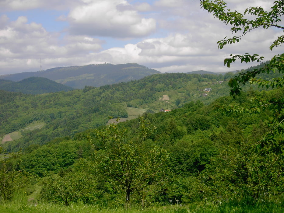
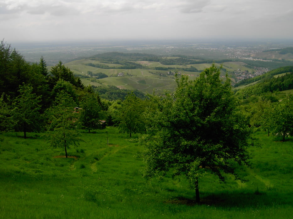
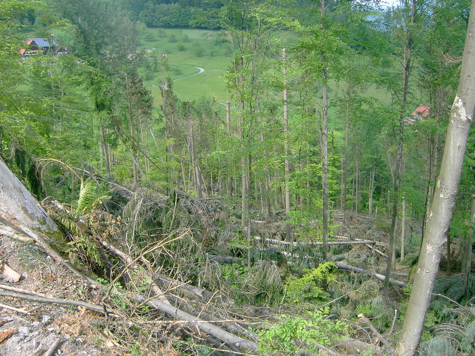
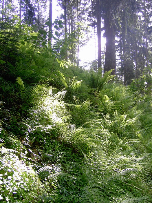
Tour gallery
Tour map and elevation profile
Minimum height 450 m
Maximum height 1032 m
More about the tour author
|
|
ambaibiker |
Comments

GPS tracks
Trackpoints-
GPX / Garmin Map Source (gpx) download
-
TCX / Garmin Training Center® (tcx) download
-
CRS / Garmin Training Center® (crs) download
-
Google Earth (kml) download
-
G7ToWin (g7t) download
-
TTQV (trk) download
-
Overlay (ovl) download
-
Fugawi (txt) download
-
Kompass (DAV) Track (tk) download
-
Track data sheet (pdf) download
-
Original file of the author (gpx) download
More about the tour author
|
|
ambaibiker |
Add to my favorites
Remove from my favorites
Edit tags
Open track
My score
Rate