Login

Forgot your login?

Cookies have to be accepted!
Your browser's cookie functionality is disabled. Please enable this functionality.

Not a member yet?

Register now
Login

Available for registred users only

Log in to use this feature.

Forgot your login?

Cookies have to be accepted!
Your browser's cookie functionality is disabled. Please enable this functionality.

Not a member yet?

Register now
Filter
Categories
Advanced filters
  • Distance (km)
  • Height
Save filters Reset filter

TrackRank

QRCode

Technical data

Distance33,5 km Height686 m Way down1741 m Duration03:10 h:m Date20.05.2009
Scores Author Landscape Fun factor Fitness Technique

Statistics

1033 Views Scores 186 Downloads Average
Rate
  • Track data sheet
  • Directions
  • Downloads
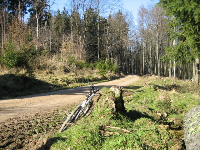
Kurze nicht zu anspruchsvolle tour mit hohem Spaßfaktor, durchaus auch nach einem Frühdienst. Viele Singeltrails und fast ausschließlich Waldwege.

Tour map and elevation profile

  • Open Street Map
  • Google
Minimum height 124 m Maximum height 1340 m Detailed view

More about the tour author

felix88
Member since 2008

Send private message

Comments

Als Mainzer mit der S-Bahn (2,30€) nach Wiesbaden Hbf. Da noch ein leckeres Schnitzelbrötchen und los geht´s.

GPS tracks

Trackpoints
  • GPX / Garmin Map Source (gpx) download
  • TCX / Garmin Training Center® (tcx) download
  • CRS / Garmin Training Center® (crs) download
  • Google Earth (kml) download
  • G7ToWin (g7t) download
  • TTQV (trk) download
  • Overlay (ovl) download
  • Fugawi (txt) download
  • Kompass (DAV) Track (tk) download
  • Track data sheet (pdf) download
  • Original file of the author (gpx) download

More about the tour author

felix88
Member since 2008

Send private message
Share track
Add to my favorites
Remove from my favorites
Edit tags
My score
Rate
Track: Taunus - Wiesbaden Hbf / Waldsee Rundfahrt
Type: Mountain bike
Distance: 33,5 km
Evaluated on:
Duration:
Day(s)
Hour(s)
Minute(s)
Score: Landscape Fun factor Fitness Technique