


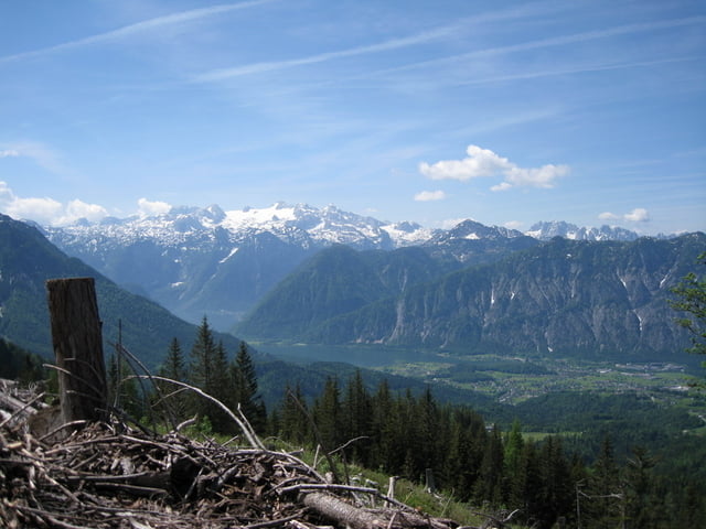
Die Tour startet und endet bei der Rettenbachmühle-Rettenbachtal-Blaa-Alm-Pfizingmoos-Pfitzingalm-Raschberg-Hütteneckalm-Predigstuhl-Ewige Wand-Reinfalzalm-Rettenbachmühle
Die Strecke geht hauptsächlich über Forststraßen,
hat 2 Schiebepassagen Pfitzingmoos und vom Raschberg zur Hütteneckalm
vom Raschberg zur Hütteneckalm,kann man statt zu schieben auch umfahren ca.halbe Stunde länger und zum Schluss gibts einen knackigen Trail .
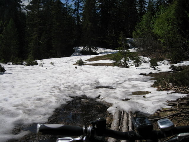
Nach einen strengen Winter ist die Tour erst ab mitte Juni zu empfehlen siehe Foto
Tour gallery
Tour map and elevation profile
Minimum height 466 m
Maximum height 1390 m
More about the tour author
|
|
rudolfo |
Comments

Bad-Ischl zur Rettenbachmühle
GPS tracks
Trackpoints-
GPX / Garmin Map Source (gpx) download
-
TCX / Garmin Training Center® (tcx) download
-
CRS / Garmin Training Center® (crs) download
-
Google Earth (kml) download
-
G7ToWin (g7t) download
-
TTQV (trk) download
-
Overlay (ovl) download
-
Fugawi (txt) download
-
Kompass (DAV) Track (tk) download
-
Track data sheet (pdf) download
-
Original file of the author (gpx) download
More about the tour author
|
|
rudolfo |
Add to my favorites
Remove from my favorites
Edit tags
Open track
My score
Rate