


Was man auf einer Fahrradtour nicht alles erleben kann !
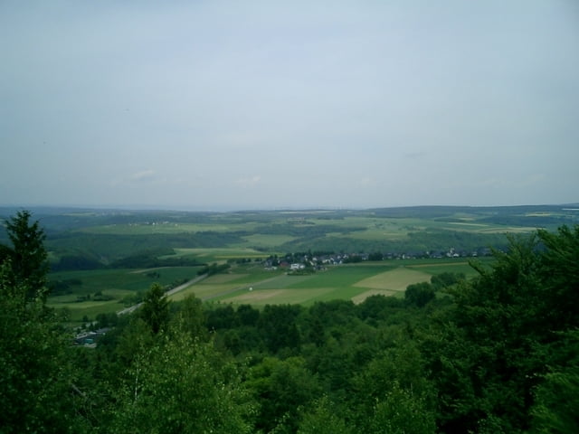
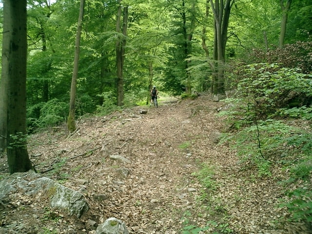
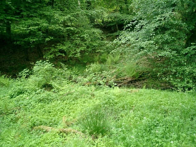
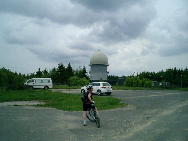
Zuerst beißt mich ein Hund klassisch in die Wade, dann stürzt meine Frau bei einer holprigen Abfahrt, der Weg wird nicht mehr erkennbar und wir müssen die Räder über eine Bach tragen. ( Haben wir Heute ein schlechtes Karma ? ) Danach erst mal Reparaturpause weil die Schaltung beim Sturz verbogen wurde, als es endlich weiterging folgte der lange Anstieg rauf zum Erbeskopf. Zurück habe ich bewusst die leichte Variante über Damflos gewäht. Zum Schluss nochmals etwas Spass beim befahren des SH-Steigs vom Tivoli bis zum ehemaligen Spielplatz Steinerwald.
Further information at
http://www.hunsrueckhaus.deTour gallery
Tour map and elevation profile
Minimum height 473 m
Maximum height 817 m
More about the tour author
|
|
wblasius |
Comments

Auto:
A1 Abfahrt Hermeskeil
Bus:
R200 aus Trier oder Türkismühle
GPS tracks
Trackpoints-
GPX / Garmin Map Source (gpx) download
-
TCX / Garmin Training Center® (tcx) download
-
CRS / Garmin Training Center® (crs) download
-
Google Earth (kml) download
-
G7ToWin (g7t) download
-
TTQV (trk) download
-
Overlay (ovl) download
-
Fugawi (txt) download
-
Kompass (DAV) Track (tk) download
-
Track data sheet (pdf) download
-
Original file of the author (gpx) download
More about the tour author
|
|
wblasius |
Add to my favorites
Remove from my favorites
Edit tags
Open track
My score
Rate