Login

Forgot your login?

Cookies have to be accepted!
Your browser's cookie functionality is disabled. Please enable this functionality.

Not a member yet?

Register now
Login

Available for registred users only

Log in to use this feature.

Forgot your login?

Cookies have to be accepted!
Your browser's cookie functionality is disabled. Please enable this functionality.

Not a member yet?

Register now
Filter
Categories
Advanced filters
  • Distance (km)
  • Height
Save filters Reset filter

TrackRank

QRCode

Technical data

Distance20,2 km Height548 m Way down554 m Duration01:38 h:m Date17.05.2006
Scores Author User Landscape Fun factor Fitness Technique

Statistics

1781 Views 3 Scores 134 Downloads 3.33 Average
Rate
  • Track data sheet
  • Directions
  • Downloads
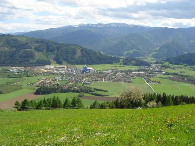
17.05.06 – Von Enzersdorf über Pöls hinauf zum Schwarzen Herrgott. Dann wieder bergab zum Mooswirt, weiter nach Allerheiligen und zurück nach Enzersdorf.

Further information at

http://www.poels.at

Tour gallery

Tour map and elevation profile

  • Open Street Map
  • Google
Minimum height 774 m Maximum height 1287 m Detailed view

More about the tour author

exitus
Member since 2006

Send private message

Comments

Specialized on 31.05.2006

Comment

Hallo, bin die Tour am Wochenende gefahren. Vielleicht ein kurzer Hinweis: am Übergang Richtung Allerheiligengraben, gibt es eine Tafel, dass die Tour nur von Anfang Mai bis Anfang Oktober befahren werden darf. Wie ernst das gemeint ist kann ich nicht sagen.
Ansonsten fand ich die Tour recht nett und durchaus empfehlenswert!
exitus on 09.08.2006

keine tafel!

das schild wurde wieder entfernt - keine ahnung warum ;-)

Von der Bezirksstadt Judenburg (Plz 8750) die B317 Richtung Süden. Nach ca. 3km rechts auf die B114 Richtung Trieben abbiegen. Weiter bis nach Pöls (Plz 8761) und gleich nach der Ortstafel links Richtung Enzersdorf.

GPS tracks

Trackpoints
  • GPX / Garmin Map Source (gpx) download
  • TCX / Garmin Training Center® (tcx) download
  • CRS / Garmin Training Center® (crs) download
  • Google Earth (kml) download
  • G7ToWin (g7t) download
  • TTQV (trk) download
  • Overlay (ovl) download
  • Fugawi (txt) download
  • Kompass (DAV) Track (tk) download
  • Track data sheet (pdf) download
  • Original file of the author (gpx) download

More about the tour author

exitus
Member since 2006

Send private message
Share track
Add to my favorites
Remove from my favorites
Edit tags
My score
Rate
Track: Pöls / Schwarzer Herrgott
Type: Mountain bike
Distance: 20,2 km
Evaluated on:
Duration:
Day(s)
Hour(s)
Minute(s)
Score: Landscape Fun factor Fitness Technique