
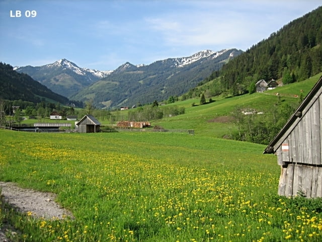

Von Donnersbachwald fährt man mit dem Mountainbike zuerst etwa 5,7 Kilometer auf der wenig befahrenen Glattjoch Bundesstraße in Richtung Donnersbach und biegt dann über eine Brücke auf die 3,6 Kilometer lange Forststraße durch das Schaablehen ab. Im zweiten Teil geht es auf der Schaablehen MTB Tour auf demselben Weg wieder zurück nach Donnersbachwald.
Weitere Infos und Fotos zur Schaablehen MTB - Tour findest du auf
biketours4you.at
Tour map and elevation profile
Minimum height 784 m
Maximum height 1044 m
More about the tour author
|
|
Trek1400d |
Comments

GPS tracks
Trackpoints-
GPX / Garmin Map Source (gpx) download
-
TCX / Garmin Training Center® (tcx) download
-
CRS / Garmin Training Center® (crs) download
-
Google Earth (kml) download
-
G7ToWin (g7t) download
-
TTQV (trk) download
-
Overlay (ovl) download
-
Fugawi (txt) download
-
Kompass (DAV) Track (tk) download
-
Track data sheet (pdf) download
-
Original file of the author (gpx) download
More about the tour author
|
|
Trek1400d |
Add to my favorites
Remove from my favorites
Edit tags
Open track
My score
Rate