
")

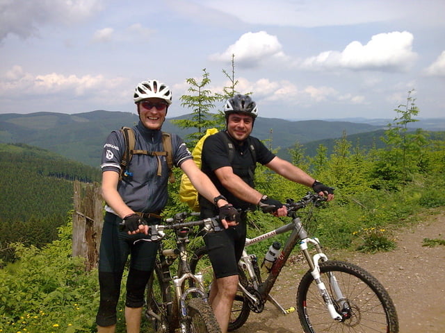
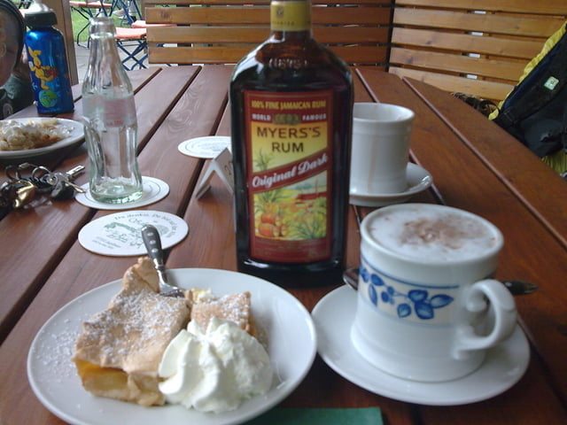
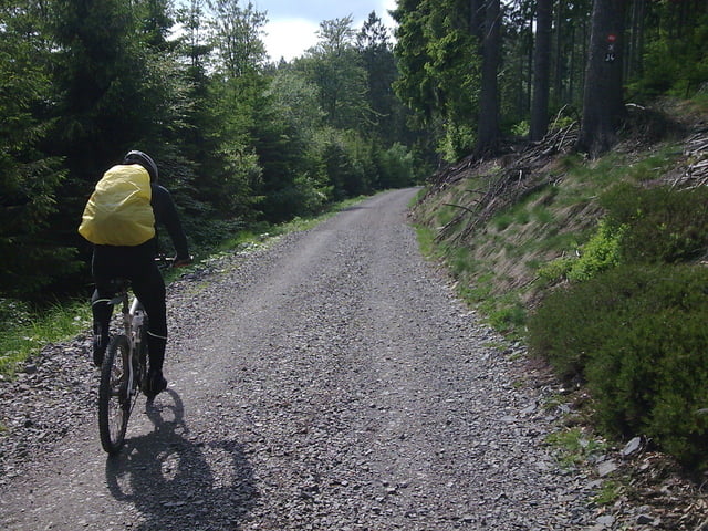
über den altenhundem trail gehts richtung bettinghof, dann weiter zum steinernen kreuz und richtung alpenhaus. dann gings auf den milchenbach downhill nach milchenbach und über die steile wand ins uentroptal. und hier uphill mäßig zum schäferhof! beste einkehr im sauerland!!! über den kleinen wurzeltrail gings dann richtung sonnbornquelle und weiter am margarethen stein vorbei richtung rhein weser turm und dann über den marmeke downhill nach böminghausen und dann weiter nach würdinghausen
Further information at
http://www.hegibiketours.de/Tour gallery
Tour map and elevation profile
Minimum height 327 m
Maximum height 707 m
More about the tour author
|
|
hegi |
Comments

start in würdinghausen am kreisel!
GPS tracks
Trackpoints-
GPX / Garmin Map Source (gpx) download
-
TCX / Garmin Training Center® (tcx) download
-
CRS / Garmin Training Center® (crs) download
-
Google Earth (kml) download
-
G7ToWin (g7t) download
-
TTQV (trk) download
-
Overlay (ovl) download
-
Fugawi (txt) download
-
Kompass (DAV) Track (tk) download
-
Track data sheet (pdf) download
-
Original file of the author (gpx) download
More about the tour author
|
|
hegi |
Add to my favorites
Remove from my favorites
Edit tags
Open track
My score
Rate