
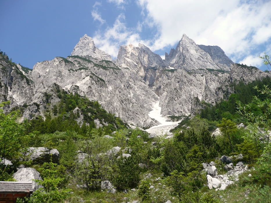

Wer einen “Almen-Rausch” sucht, der findet ihn auf dieser Tour. Schöner, intensiver geht es in den Bayrischen Alpen wohl nicht – aber das Wetter hat auch heute perfekt mitgespielt. Start ist Ramsau, von dort westlich den Ort verlassen und durch den Zauberwald bis zum malerischen Hintersee, mehr oder weniger auf Asphalt. Vom Hintersee beginnt eine recht steile Auffahrt (bis zu 25 Prozent) hinauf zum Hirschbichl. Von dort genießt man einen herrlichen Blick auf die Loferer Steinberge bevor man nach einer schönen Abfahrt wieder steil gen Himmel Richtung Kallbrunnalm zieht. Von dort in gemütlicher Abfahrt wieder Richtung Hirschbichl und ausrollen bis Ramsau. Traumtour – Ausprobieren, so böse ist der Berg gar nicht.
Further information at
http://www.mountainbike-in-bayern.deTour gallery

Tour map and elevation profile
Minimum height 642 m
Maximum height 1482 m
More about the tour author
|
|
PegasusEeagel |
Comments
GPS tracks
Trackpoints-
GPX / Garmin Map Source (gpx) download
-
TCX / Garmin Training Center® (tcx) download
-
CRS / Garmin Training Center® (crs) download
-
Google Earth (kml) download
-
G7ToWin (g7t) download
-
TTQV (trk) download
-
Overlay (ovl) download
-
Fugawi (txt) download
-
Kompass (DAV) Track (tk) download
-
Track data sheet (pdf) download
-
Original file of the author (gpx) download
More about the tour author
|
|
PegasusEeagel |
Add to my favorites
Remove from my favorites
Edit tags
Open track
My score
Rate
Superb
We took a ride up to Lizlalm on day 2 and then descended back to Ramsau.
The downhill is big fun in theory you could reach speed of up to 70 km/h. Please note that there is 30 km/h speed limit so the top speed is purely theoretical ;-) .