Login

Forgot your login?

Cookies have to be accepted!
Your browser's cookie functionality is disabled. Please enable this functionality.

Not a member yet?

Register now
Login

Available for registred users only

Log in to use this feature.

Forgot your login?

Cookies have to be accepted!
Your browser's cookie functionality is disabled. Please enable this functionality.

Not a member yet?

Register now
Filter
Categories
Advanced filters
  • Distance (km)
  • Height
Save filters Reset filter

TrackRank

QRCode

Technical data

Distance13,0 km Height593 m Way down535 m Duration01:00 h:m Date24.05.2009
Scores Author Landscape Fun factor Fitness Technique

Statistics

3481 Views 1 Score 163 Downloads 2.00 Average
Rate
  • Track data sheet
  • Directions
  • Downloads

Vom Parkplatz aus führen 2 Wege nach oben. Die Strasse mit der Schranke ist die für die MTB'ler. Die unspektakuläre Auffahrt geht über einen feinen Schotterweg nach oben. Die letzten 100 Höhenmeter haben es in sich und verlangen nach ausreichend Puste und Kraft in den Beinen.

Oben angekommen kann man sich in dem Restaurant eine Brotzeit einverleiben.

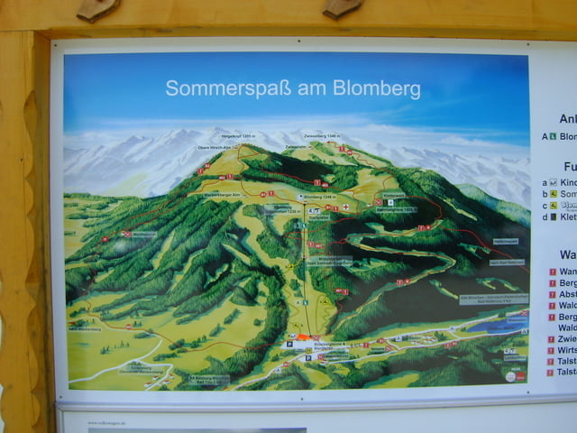
Wer nicht nach oben Biken will, kommt auch mit der Blombergbahn hinauf.

Further information at

http://www.blombergbahn.de/

Tour gallery

Tour map and elevation profile

  • Open Street Map
  • Google
Minimum height 670 m Maximum height 1224 m Detailed view

More about the tour author

Pointer
Member since 2008

Send private message

Comments

Bad Tölz

GPS tracks

Trackpoints
  • GPX / Garmin Map Source (gpx) download
  • TCX / Garmin Training Center® (tcx) download
  • CRS / Garmin Training Center® (crs) download
  • Google Earth (kml) download
  • G7ToWin (g7t) download
  • TTQV (trk) download
  • Overlay (ovl) download
  • Fugawi (txt) download
  • Kompass (DAV) Track (tk) download
  • Track data sheet (pdf) download
  • Original file of the author (gpx) download

More about the tour author

Pointer
Member since 2008

Send private message
Share track
Add to my favorites
Remove from my favorites
Edit tags
My score
Rate
Track: Auffahrt zum Blomberg
Type: Mountain bike
Distance: 13,0 km
Evaluated on:
Duration:
Day(s)
Hour(s)
Minute(s)
Score: Landscape Fun factor Fitness Technique