Login

Forgot your login?

Cookies have to be accepted!
Your browser's cookie functionality is disabled. Please enable this functionality.

Not a member yet?

Register now
Login

Available for registred users only

Log in to use this feature.

Forgot your login?

Cookies have to be accepted!
Your browser's cookie functionality is disabled. Please enable this functionality.

Not a member yet?

Register now
Filter
Categories
Advanced filters
  • Distance (km)
  • Height
Save filters Reset filter

TrackRank

QRCode

Technical data

Distance73,8 km Height1595 m Way down1589 m Duration00:00 h:m Date25.05.2009
Scores Author User Landscape Fun factor Fitness Technique

Statistics

708 Views 1 Score 106 Downloads 4.00 Average
Rate
  • Track data sheet
  • Directions
  • Downloads
...einfach eine sagenhafte tour, schöne lange anstiege und als belohnung geniale trails!
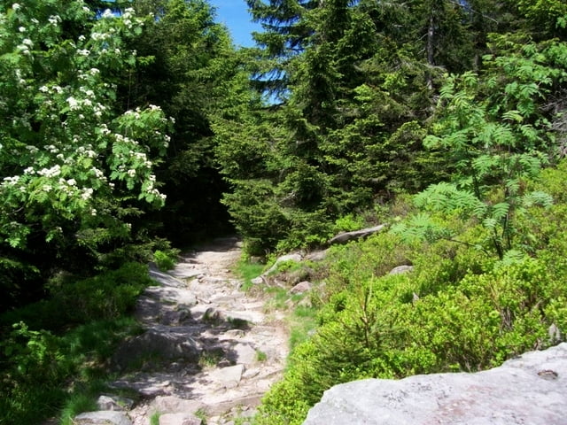
Tour gallery

Tour map and elevation profile

  • Open Street Map
  • Google
Minimum height 126 m Maximum height 1161 m Detailed view

More about the tour author

elloco
Member since 2008

Send private message

Comments

derpeter on 25.05.2009

wie schnell bist du denn?

Mann, du musst ja Zeit haben! Vorgestern gefahren, heute schon im Web!
War aber auch ne geile Tour!
Gruß
Piedie

das kannste laut sagen, kann aber die strecke nicht editieren ;(
derpeter on 09.06.2009

schick ich dir mal das proggie
brainstormvd on 03.06.2013

Tour gefahren

Die Tour hat sich gelohnt, waren einige Passagen dabei, die technischer waren und spaß gemacht haben. Allerdings war der Großteil Forststraße.
Nur die Aufzeichnunge ist teilweise etwas seltsam. Hatte ein paarmal, dass der Track einfach Luftlinie von dem einen zum anderen Parallelweg führte, hatte teilweise ein wenig für Verwirrung gesorgt.
sucht euch einen parkplatz in achern. mein startpunkt ist beim campingplatz am acherner see! von da sind es ca. 4 km bis zum zentrum von achern.

GPS tracks

Trackpoints
  • GPX / Garmin Map Source (gpx) download
  • TCX / Garmin Training Center® (tcx) download
  • CRS / Garmin Training Center® (crs) download
  • Google Earth (kml) download
  • G7ToWin (g7t) download
  • TTQV (trk) download
  • Overlay (ovl) download
  • Fugawi (txt) download
  • Kompass (DAV) Track (tk) download
  • Track data sheet (pdf) download
  • Original file of the author (gpx) download

More about the tour author

elloco
Member since 2008

Send private message
Share track
Add to my favorites
Remove from my favorites
Edit tags
My score
Rate
Track: Schwarzwald Hornigsrinde
Type: Mountain bike
Distance: 73,8 km
Evaluated on:
Duration:
Day(s)
Hour(s)
Minute(s)
Score: Landscape Fun factor Fitness Technique