


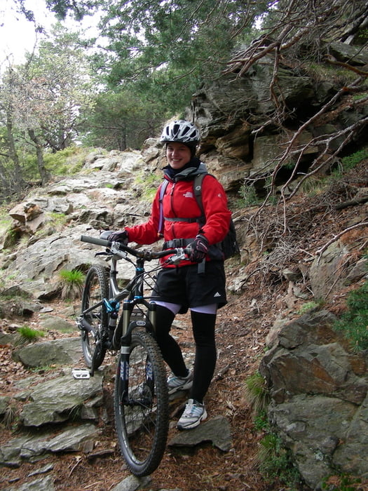
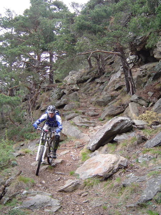
Eine grandiose Tour - welche mit Bikeguides angeboten wird. Man kann nur (!) mit lokalen Guides die Bergbahn nutzen, wer trotzdem ohne Guides fahren möchte, muss vorher nach St. Martin strampeln (ca. 1400 hm :)).
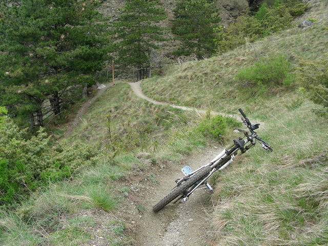
Die Tour führt zunächst über eine Teerstraße ein Stück bergab und biegt dann sehr schnell in einen Trail ein. Der erste Abschnitt ist zum Warm werden. Später kommt man in den Trail Nr. 7 der dann in den Trail Nr. 5 mündet. Hier ist sicherheit auf dem Bike voraus gesetzt, sonst macht es wenig Spass. Man sollte schon den einen oder anderen blockigen Trail gefahren sein.
Tour gallery
Tour map and elevation profile
Minimum height 627 m
Maximum height 1704 m
More about the tour author
|
|
Vuiker |
Comments

GPS tracks
Trackpoints-
GPX / Garmin Map Source (gpx) download
-
TCX / Garmin Training Center® (tcx) download
-
CRS / Garmin Training Center® (crs) download
-
Google Earth (kml) download
-
G7ToWin (g7t) download
-
TTQV (trk) download
-
Overlay (ovl) download
-
Fugawi (txt) download
-
Kompass (DAV) Track (tk) download
-
Track data sheet (pdf) download
-
Original file of the author (gpx) download
More about the tour author
|
|
Vuiker |
Add to my favorites
Remove from my favorites
Edit tags
Open track
My score
Rate