


Dolomiti di Brenta Bike (Expert gekürzt)
29. - 30. Mai 2009
Fahrer: Bernd, Franz, Fritz, Stefan, Tom, Walter
(wg. Schneelage und Wetter von geplanten 4 auf 3 Tage beschnitten)
1. Tag: (Sonne) Start in Cles am Krankenhaus - sehr steiler Quereinstieg in Expert Tour -
Rifugio Peller, bei Abfahrt Schneefelder -
Male - Dimaro (unabsichtlicher Abstecher in Richtung Mezzana)
Übernachtung in Dimaro :o)
2. Tag: (Sonne) Dimaro - Campo Carlo Magno -
Rif. Graffer und Monte Spinale bis gut 1850m,
(wg. Schneefelder Abfahrt auf Nachfrage nicht befahrbar) -
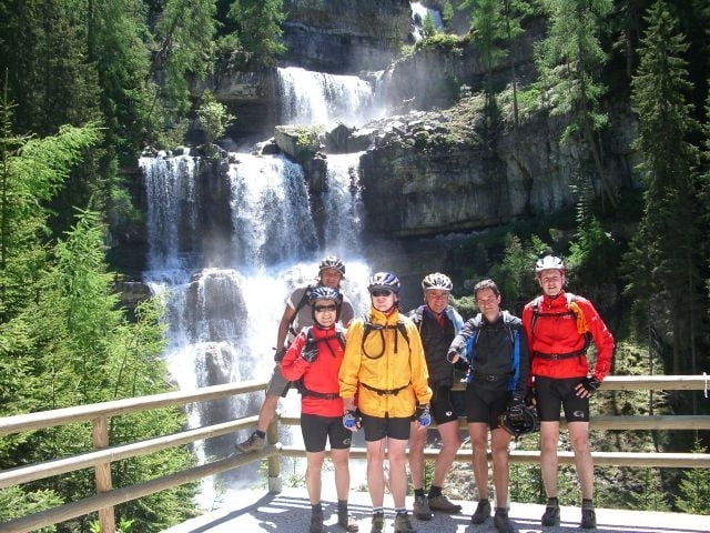
Madonna di Campiglio - Vallesinella - Wasserfall, Cascate alte -
Val Brenta - Val d'Agoloa -Lago di Val d'Agola -
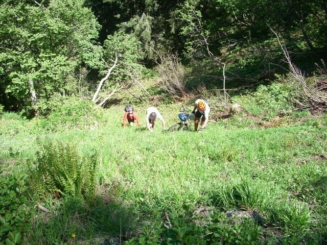
Übergang Passo Begn de I'Ors extrem schwierig (kein Weg - 1,5h Trage-/Schiebepassage) -
Malga Movlina - Val d'Algone - Pause am Rifugio Brenta (sehr empfehlenswert) - Stenico -
Übernachtung in Villa Banale
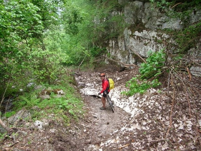
3. Tag: (Regen) Villa Banale - S. Lorenzo - Lago di Nembia - Fritz hat Kettenriss(!!) -
Lago di Molveno - Molveno - Andalo - Sporminore - Cunevo (Franz hat Platten) -
Tuenno - Cles
Schön wars !!!
Further information at
http://www.dolomitibrentabike.it/Tour gallery
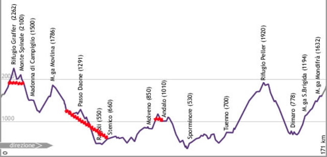
Tour map and elevation profile
Minimum height 374 m
Maximum height 1926 m
More about the tour author
|
|
asso |
Comments

GPS tracks
Trackpoints-
GPX / Garmin Map Source (gpx) download
-
TCX / Garmin Training Center® (tcx) download
-
CRS / Garmin Training Center® (crs) download
-
Google Earth (kml) download
-
G7ToWin (g7t) download
-
TTQV (trk) download
-
Overlay (ovl) download
-
Fugawi (txt) download
-
Kompass (DAV) Track (tk) download
-
Track data sheet (pdf) download
-
Original file of the author (gpx) download
More about the tour author
|
|
asso |
Add to my favorites
Remove from my favorites
Edit tags
Open track
My score
Rate